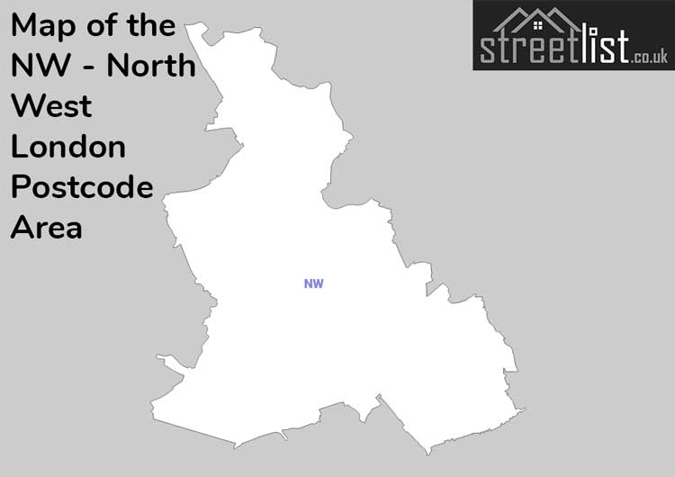
Map of the NW Postcode for North West London
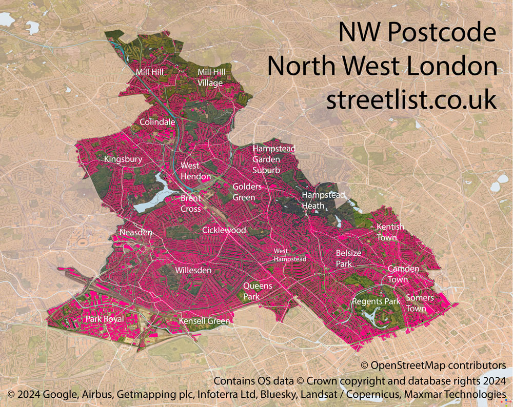
NW North West London is a Postcode Area in the United Kingdom. The area code NW stands for the letters n and w in North West London. NW has a population of 551,407 and covers an area of 81,089 hectares. Fun fact: 0.85% of the population of Great Britain lives in this area.
The postcode sector falls within the following counties: Greater London (100.00%).
Post Towns and Postcode Districts for the NW Postcode
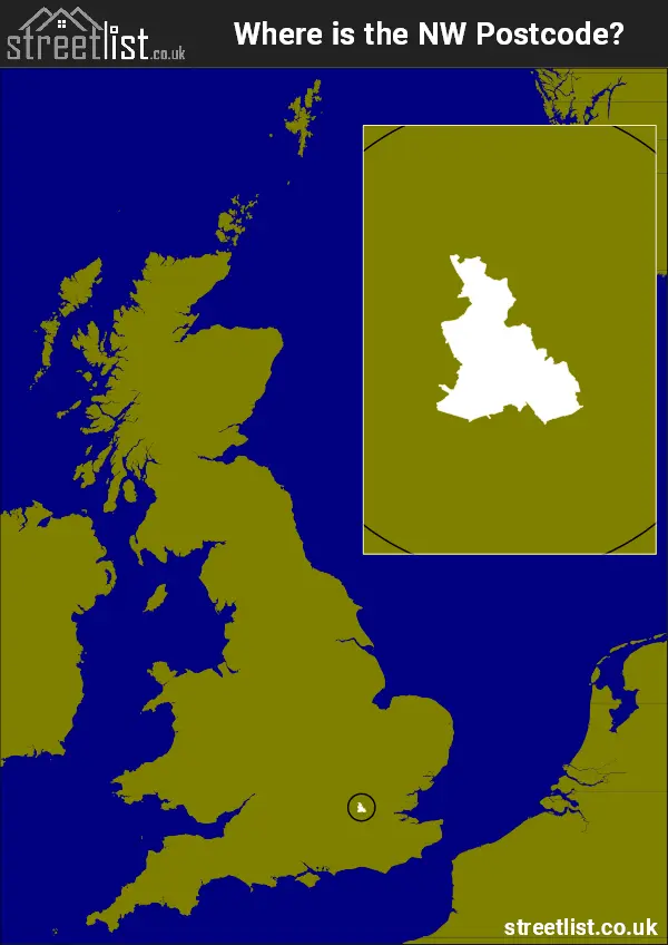
Where is the NW Postcode Area?
The North West London - NW Postcode is in the London Region of England. The postal area borders the following neighbouring postal areas: HA - Harrow, WC - London - WC, WD - Watford, EN - Enfield, W - London - W and N - London - N, and is located inland.
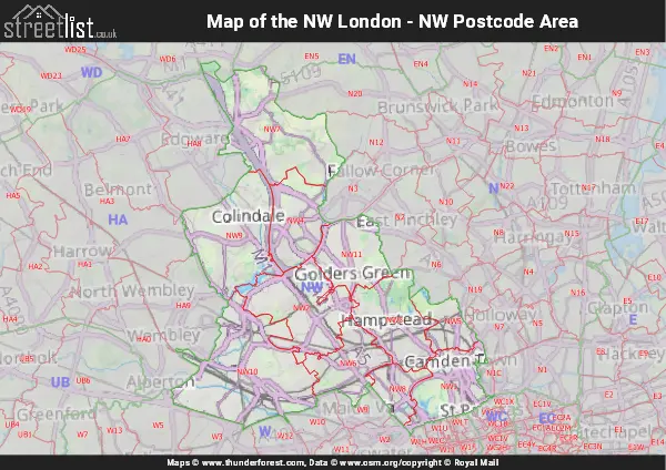
Postcode Districts within the NW North West London Postcode Area
There are 11 postcode districts within the North West London postcode area
A map showing the boundary of in relation to other areas
Map of the NW North West London Postcode Area
Explore the NW North West London postcode area by using our free interactive map.
| Unit | Area² |
|---|---|
| Hectares | 81,089² |
| Miles | 313² |
| Feet | 8,728,338,871² |
| Kilometres | 811² |
Postal Delivery Offices serving the NW North West London Postcode Area
- Cricklewood S Delivery Office
- Golders Green S Delivery Office
- Hampstead S Delivery Office
- Hendon S Delivery Office
- Kentish Town S Delivery Office
- Kilburn S Delivery Office
- Mill Hill S Delivery Office
- Nw Delivery Office
- St Johns Wood S Delivery Office
- The Hyde S Delivery Office
- Willesden S Delivery Office
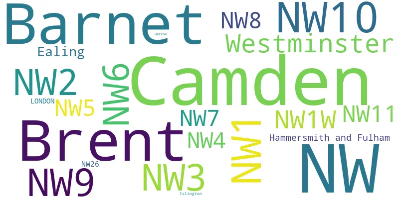
Councils with Postcodes in NW
Towns and Villages within the NW North West London Postcode Area
- Acton - Urban Area
- Alperton - Urban Area
- Barn Hill - Urban Area
- Bayswater - Urban Area
- Bloomsbury - Urban Area
- Camden Town - Urban Area
- Cricklewood - Urban Area
- Ealing - Urban Area
- East Finchley - Urban Area
- Edgware - Urban Area
- Finchley - Urban Area
- Fitzrovia - Urban Area
- Golders Green - Urban Area
- Hampstead - Urban Area
- Hendon - Urban Area
- Highgate - Urban Area
- Kensal Green - Urban Area
- Kensal Town - Urban Area
- Kentish Town - Urban Area
- Kenton - urban area
- Kilburn - Urban Area
- Kings Cross - Urban Area
- Little Venice - Urban Area
- Lower Holloway - Urban Area
- Maida Vale - Urban Area
- Marylebone - Urban Area
- Mill Hill - Urban Area
- North Finchley - Urban Area