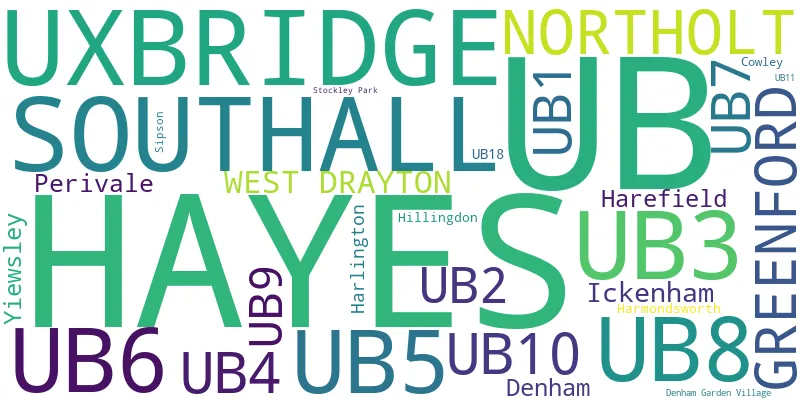
This section of the site is all about the UB Postcode area, also known as the Uxbridge Postal Area. Explore links to the next level to learn more about specific postcode districts such as UB1.
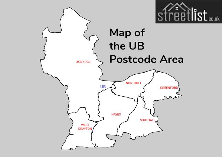
Map of the UB Uxbridge Postcode
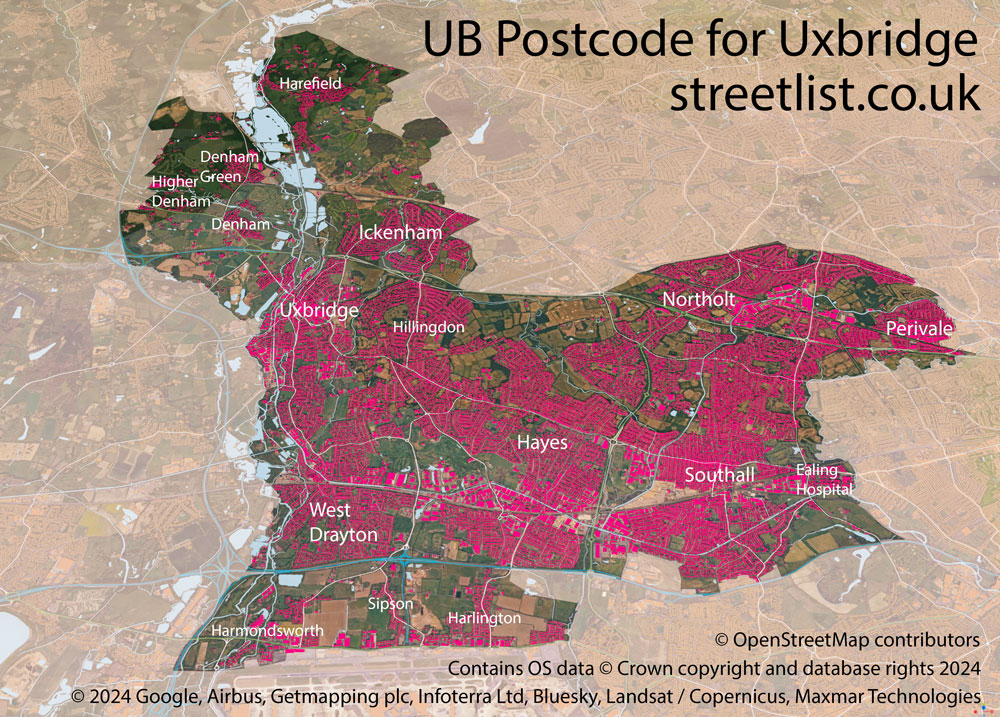
The UB postcode area represents a group of postal districts in the Uxbridge area of the United Kingdom. The area code UB stands for the letters u and b in UxBridge. UB has a population of 371,969 and covers an area of 119,916 hectares. Fun fact: 0.57% of the population of Great Britain lives in this area.
The postcode area falls within the following counties: Greater London (97.16%), Buckinghamshire (2.83%), Hertfordshire (0.01%).
Post Towns and Postcode Districts for the UB Postcode
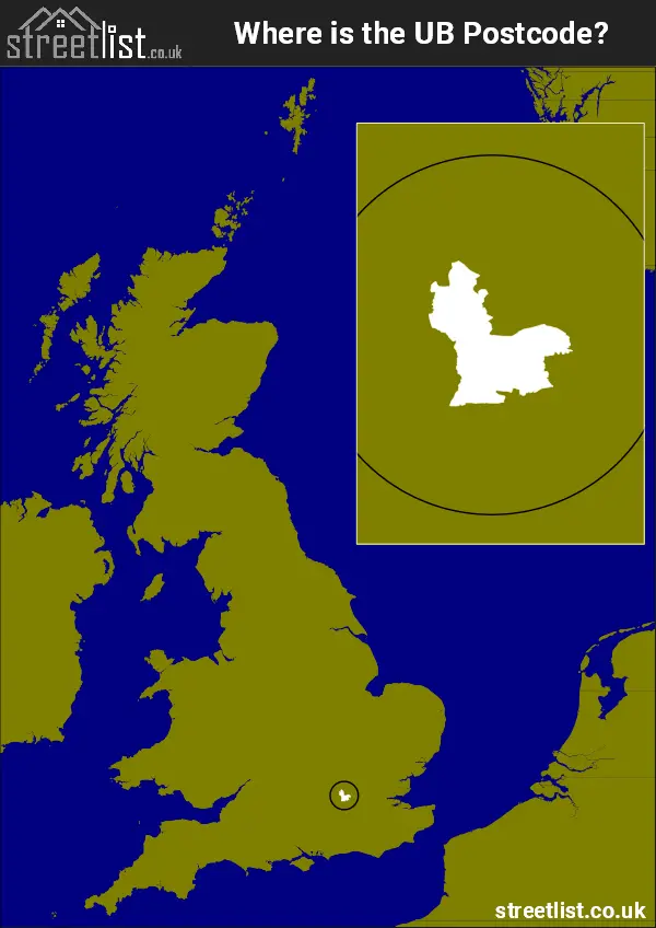
Where is the UB Postcode Area?
The UX Uxbridge,Postcode is in the London Region. The postal area borders the following neighbouring postal areas: HA - Harrow, SL - Slough, WD - Watford, W - London - W and TW - Twickenham, and is located inland.
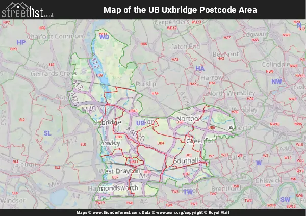
Map of the UB Uxbridge Postcode Area
Explore the UB Uxbridge postcode area by using our interactive map.
Postcode Districts within the UB Uxbridge Postcode Area
There are 11 postcode districts within the Uxbridge postcode area
A map showing the boundary of in relation to other areas
| Unit | Area² |
|---|---|
| Hectares | 119,916² |
| Miles | 463² |
| Feet | 12,907,638,324² |
| Kilometres | 1,199² |
Postal Delivery Offices serving the UB Uxbridge Postcode Area
- Hayes Delivery Office
- Northolt Delivery Office
- Southall Delivery Office
- Uxbridge Delivery Office