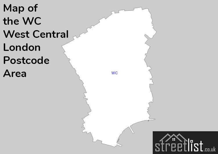
Map of the WC West Central London Postcode
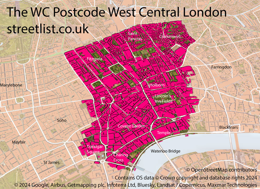
WC West Central London is a Postcode Area in the United Kingdom. The area code WC stands for the letters w and c in Western Central. WC has a population of 35,995 and covers an area of 3,434 hectares. Fun fact: 0.06% of the population of Great Britain lives in this area.
The postcode sector falls within the following counties: Greater London (97.91%), City and County of the City of London (2.09%).
Post Towns and Postcode Districts for the WC Postcode
-
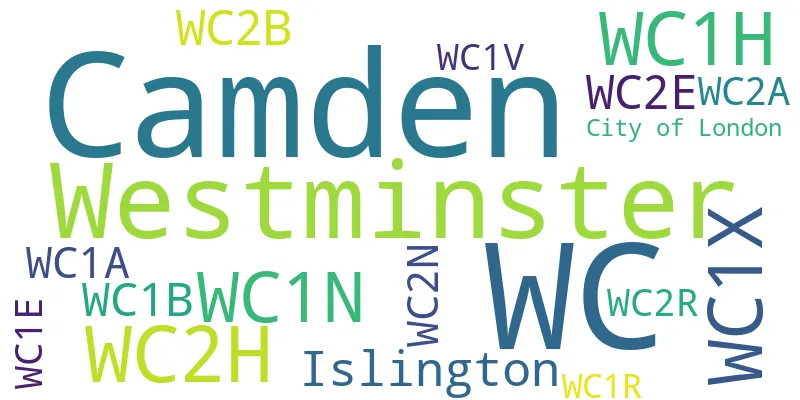
WC1N Greater LondonWC1R City and County of the City of London (4%), Greater London (95%)WC1V City and County of the City of London (12%), Greater London (87%)WC1X Greater LondonWC2A City and County of the City of London (19%), Greater London (80%)WC2B Greater LondonWC2E Greater LondonWC2H Greater LondonWC2N Greater LondonWC2R Greater LondonWC1A Greater LondonWC1B Greater LondonWC1E Greater LondonWC1H Greater London
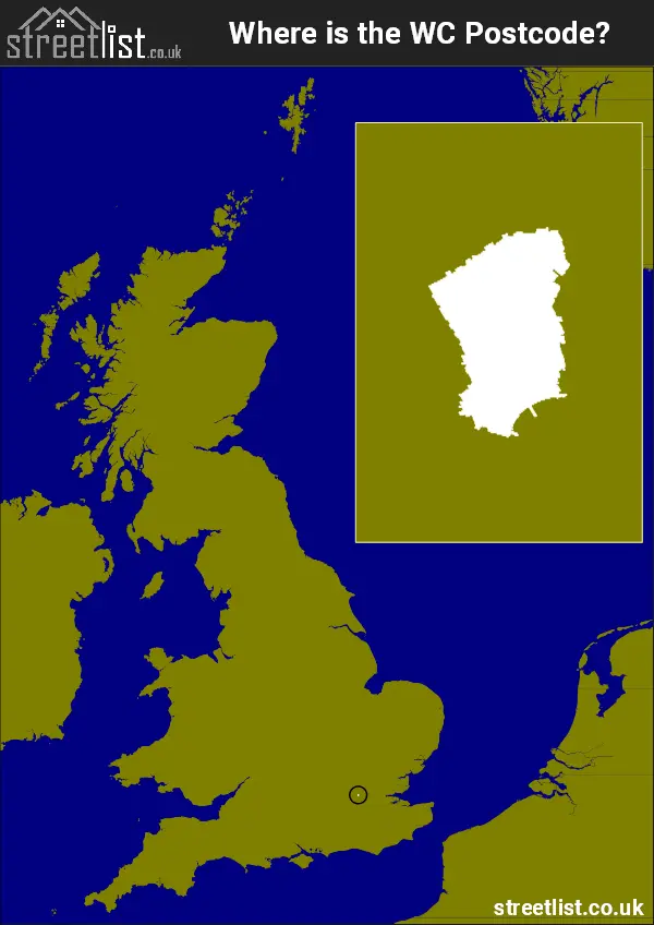
Where is the WC Postcode Area?
The West Central London - WC Postcode is in the London Region of England. The postal area borders the following neighbouring postal areas: SW - London - SW, SE - London - SE, NW - London - NW, EC - London - EC, W - London - W and N - London - N, It also borders The Tidal Thames,
Postcode Districts within the WC West Central London Postcode Area
There are 14 postcode districts within the West Central London postcode area
A map showing the boundary of in relation to other areas
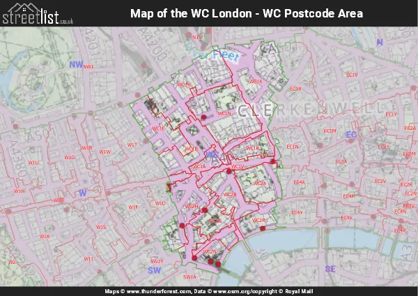
Map of the WC West Central London Postcode Area
Explore the WC West Central London postcode area by using our free interactive map.
| Unit | Area² |
|---|---|
| Hectares | 3,434² |
| Miles | 13² |
| Feet | 369,632,326² |
| Kilometres | 34² |
Postal Delivery Offices serving the WC West Central London Postcode Area
- Wc Delivery Office