Given that each sector allows for 400 unique postcode combinations. Letters C, I, K, M, O and V are not allowed in the last two letters of a postcode. With 200 postcodes already in use, this leaves 200 units available.
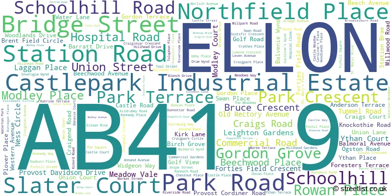
The largest settlements in the AB41 9 postal code are ELLON and Castlepark Industrial Estate.
The AB41 9 Postcode shares a border with AB41 8 (ELLON, Auchnagatt, Collieston).
The sector is within the post town of ELLON.
AB41 9 is a postcode sector within the AB41 postcode district which is within the AB Aberdeen postcode area.
The Royal Mail delivery office for the AB41 9 postal sector is the Ellon Delivery Office.
The area of the AB41 9 postcode sector is 1.72 square miles which is 4.46 square kilometres or 1,101.29 square acres.

Map of the AB41 9 Postcode Sector
Explore the AB41 9 postcode sector by using our free interactive map.
| A | B | 4 | 1 | - | 9 | X | X |
| A | B | 4 | 1 | Space | 9 | Letter | Letter |
Official List of Streets
ELLON (148 Streets)
Castlepark Industrial Estate (2 Streets)
Unofficial Streets or Alternative Spellings
ELLON
KNOCKOTHIE BRAE MCDONALD DRIVE WOODLANDS EDGE ADDY ALLEY BOATIE TAMS BRIG CAROLINES LANE COOPERS COURT CRAGIEVAR CRESCENT CRAIGHALL COURT DUNOTTAR ROAD EDGE LANE ELLON PARK AND RIDE ROUNDABOUT ELLON RIVERSIDE PATH FIR LANE FORMATINE AND BUCHAN WAY GEAN LANE HOSPITAL COURT LONG CLOSE MEADOWVALE OLD BRIDGE SCHOOL HILL WELL LANE WESTERN PLACE WHISKY BRAE WOOD LANE YEW LANEBalmacassie Commercial Park
BALMACASSIE BRAE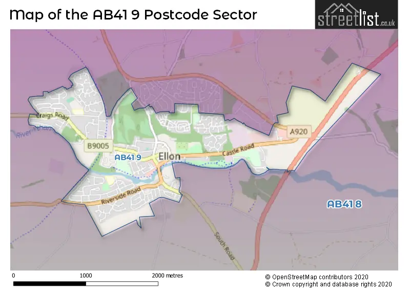
| The AB41 9 Sector is within these Local Authorities | |
|---|---|
| The AB41 9 Sector is within these Counties | |
| The AB41 9 Sector is within these Water Company Areas |