Given that each sector allows for 400 unique postcode combinations. Letters C, I, K, M, O and V are not allowed in the last two letters of a postcode. With 153 postcodes already in use, this leaves 247 units available.
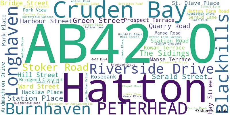
The largest settlement in the AB42 0 postal code is Cruden Bay followed by Hatton, and Longhaven.
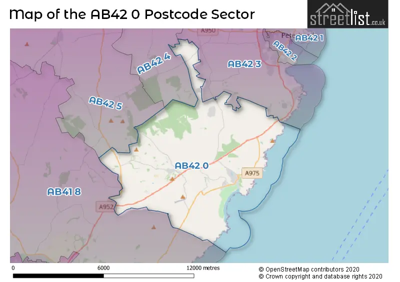
The AB42 0 Postcode shares a border with AB41 8 (ELLON, Auchnagatt, Collieston), AB42 3 (PETERHEAD, Boddam, St. Fergus), AB42 4 (Longside, Maud, Mintlaw) and AB42 5 (Mintlaw, Stuartfield, Maud).
The sector is within the post town of PETERHEAD.
AB42 0 is a postcode sector within the AB42 postcode district which is within the AB Aberdeen postcode area.
The Royal Mail delivery office for the AB42 0 postal sector is the Peterhead Delivery Office.
The area of the AB42 0 postcode sector is 28.30 square miles which is 73.30 square kilometres or 18,112.57 square acres.

Map of the AB42 0 Postcode Sector
Explore the AB42 0 postcode sector by using our free interactive map.
| A | B | 4 | 2 | - | 0 | X | X |
| A | B | 4 | 2 | Space | 0 | Letter | Letter |
Official List of Streets
Cruden Bay (35 Streets)
Hatton (23 Streets)
Unofficial Streets or Alternative Spellings
| The AB42 0 Sector is within these Local Authorities | |
|---|---|
| The AB42 0 Sector is within these Counties | |
| The AB42 0 Sector is within these Water Company Areas |