Given that each sector allows for 400 unique postcode combinations. Letters C, I, K, M, O and V are not allowed in the last two letters of a postcode. With 219 postcodes already in use, this leaves 181 units available.
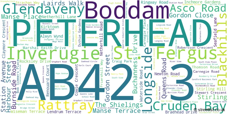
The largest settlement in the AB42 3 postal code is PETERHEAD followed by Boddam, and St. Fergus.
The AB42 3 Postcode shares a border with AB42 0 (Cruden Bay, Hatton, Longhaven), AB42 1 (PETERHEAD), AB42 4 (Longside, Maud, Mintlaw), AB43 8 (Crimond, Inverallochy, St. Combs) and AB42 2 (PETERHEAD).
The sector is within the post town of PETERHEAD.
AB42 3 is a postcode sector within the AB42 postcode district which is within the AB Aberdeen postcode area.
The Royal Mail delivery office for the AB42 3 postal sector is the Peterhead Delivery Office.
The area of the AB42 3 postcode sector is 32.89 square miles which is 85.18 square kilometres or 21,047.90 square acres.

Map of the AB42 3 Postcode Sector
Explore the AB42 3 postcode sector by using our free interactive map.
| A | B | 4 | 2 | - | 3 | X | X |
| A | B | 4 | 2 | Space | 3 | Letter | Letter |
Official List of Streets
St. Fergus (23 Streets)
PETERHEAD (59 Streets)
Boddam (35 Streets)
Cruden Bay (2 Streets)
Blackhills (2 Streets)
Unofficial Streets or Alternative Spellings
PETERHEAD
ABERNETHY ROAD DALES VIEW DRIVE INVERUGIE ROAD IONA AVENUE KINMUNDY ROAD NORTH ROAD RUBY CRESCENT SOUTH ROAD WATERSIDE PLACE WATERSIDE WAY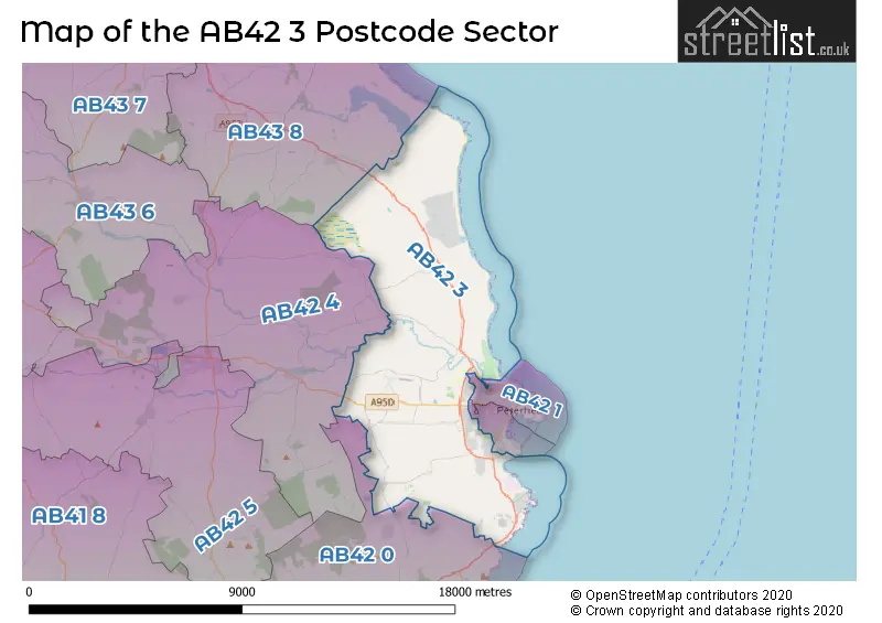
| The AB42 3 Sector is within these Local Authorities | |
|---|---|
| The AB42 3 Sector is within these Counties | |
| The AB42 3 Sector is within these Water Company Areas |