Given that each sector allows for 400 unique postcode combinations. Letters C, I, K, M, O and V are not allowed in the last two letters of a postcode. With 213 postcodes already in use, this leaves 187 units available.
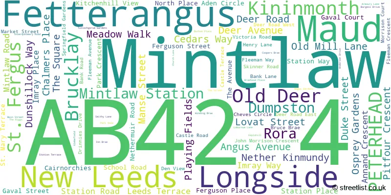
The largest settlement in the AB42 4 postal code is Longside followed by Maud, and Mintlaw.
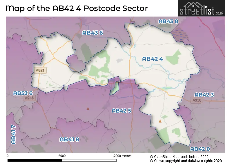
The AB42 4 Postcode shares a border with AB42 0 (Cruden Bay, Hatton, Longhaven), AB42 3 (PETERHEAD, Boddam, St. Fergus), AB43 6 (Strichen, New Pitsligo, New Aberdour), AB43 8 (Crimond, Inverallochy, St. Combs), AB42 5 (Mintlaw, Stuartfield, Maud) and AB53 6 (New Deer).
The sector is within the post town of PETERHEAD.
AB42 4 is a postcode sector within the AB42 postcode district which is within the AB Aberdeen postcode area.
The Royal Mail delivery office for the AB42 4 postal sector is the Peterhead Delivery Office.
The area of the AB42 4 postcode sector is 42.30 square miles which is 109.56 square kilometres or 27,072.15 square acres.

Map of the AB42 4 Postcode Sector
Explore the AB42 4 postcode sector by using our free interactive map.
| A | B | 4 | 2 | - | 4 | X | X |
| A | B | 4 | 2 | Space | 4 | Letter | Letter |
Official List of Streets
Old Deer (1 Streets)
Longside (30 Streets)
Fetterangus (13 Streets)
Mintlaw (10 Streets)
Maud (21 Streets)
New Leeds (4 Streets)
Rora (1 Streets)
Unofficial Streets or Alternative Spellings
| The AB42 4 Sector is within these Local Authorities | |
|---|---|
| The AB42 4 Sector is within these Counties | |
| The AB42 4 Sector is within these Water Company Areas |