Given that each sector allows for 400 unique postcode combinations. Letters C, I, K, M, O and V are not allowed in the last two letters of a postcode. With 237 postcodes already in use, this leaves 163 units available.
The DD3 6 postal code covers the settlement of DUNDEE.
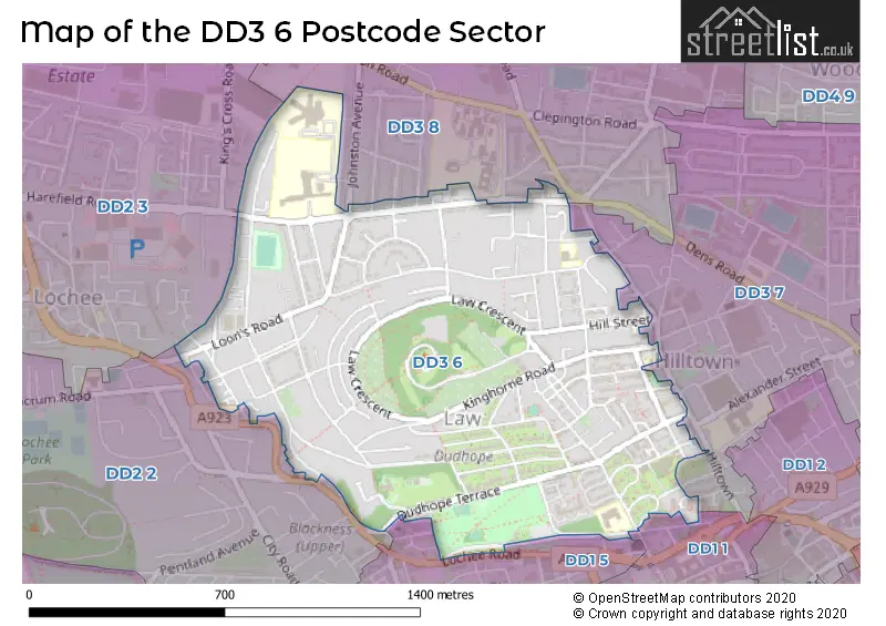
The DD3 6 Postcode shares a border with DD1 1 (DUNDEE), DD2 3 (DUNDEE, Lochee, Dryburgh Industrial Estate), DD1 5 (DUNDEE), DD2 2 (DUNDEE), DD3 7 (DUNDEE) and DD3 8 (DUNDEE).
The sector is within the post town of DUNDEE.
DD3 6 is a postcode sector within the DD3 postcode district which is within the DD Dundee postcode area.
The Royal Mail delivery office for the DD3 6 postal sector is the Dundee West Delivery Office.
The area of the DD3 6 postcode sector is 0.71 square miles which is 1.83 square kilometres or 453.42 square acres.

Map of the DD3 6 Postcode Sector
Explore the DD3 6 postcode sector by using our free interactive map.
| D | D | 3 | - | 6 | X | X |
| D | D | 3 | Space | 6 | Letter | Letter |
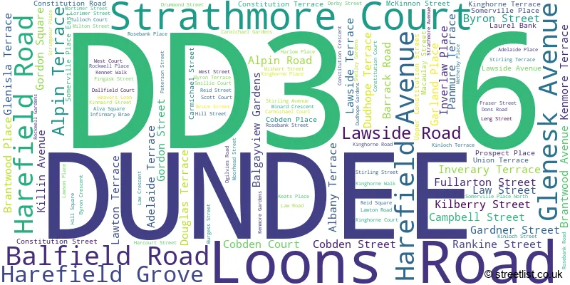
Official List of Streets
DUNDEE (119 Streets)
| The DD3 6 Sector is within these Local Authorities | |
|---|---|
| The DD3 6 Sector is within these Counties | |
| The DD3 6 Sector is within these Water Company Areas |