Given that each sector allows for 400 unique postcode combinations. Letters C, I, K, M, O and V are not allowed in the last two letters of a postcode. With 144 postcodes already in use, this leaves 256 units available.
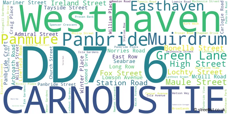
The largest settlement in the DD7 6 postal code is CARNOUSTIE followed by Panbride, and Panmure.
The DD7 6 Postcode shares a border with DD11 2 (ARBROATH, Carmyllie, Arbirlot), DD5 3 (Broughty Ferry) and DD7 7 (CARNOUSTIE, Barry).
The sector is within the post town of CARNOUSTIE.
DD7 6 is a postcode sector within the DD7 postcode district which is within the DD Dundee postcode area.
The Royal Mail delivery office for the DD7 6 postal sector is the Carnoustie Delivery Office.
The area of the DD7 6 postcode sector is 8.23 square miles which is 21.31 square kilometres or 5,266.77 square acres.

Map of the DD7 6 Postcode Sector
Explore the DD7 6 postcode sector by using our free interactive map.
| D | D | 7 | - | 6 | X | X |
| D | D | 7 | Space | 6 | Letter | Letter |
Official List of Streets
CARNOUSTIE (59 Streets)
East Haven (5 Streets)
Muirdrum (1 Streets)
Unofficial Streets or Alternative Spellings
Easthaven
LONG ROW STATION ROW TANKERVILLE COTTAGES TORRIE PARK CARLOGIE FARM ROAD CRAIG ROAD CRAIGMILL DEN DAVID MOYES ROAD DAVID MOYLES ROAD MONTAGU BRIDGE PANBRIDE COURT THE MARCHES WESTHAVEN ROADCARNOUSTIE
BALMACHIE ROAD LINKS PARADE PARK AVENUE PITSKELLY ROAD QUEEN STREET SHANWELL ROADBalmirmer
BONNYTON ROAD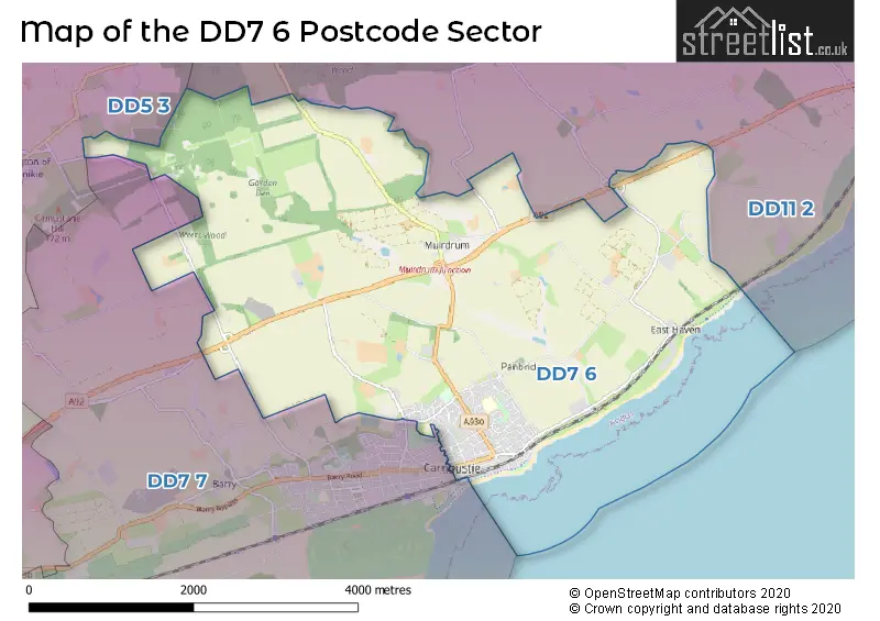
| The DD7 6 Sector is within these Local Authorities | |
|---|---|
| The DD7 6 Sector is within these Counties | |
| The DD7 6 Sector is within these Water Company Areas |