Given that each sector allows for 400 unique postcode combinations. Letters C, I, K, M, O and V are not allowed in the last two letters of a postcode. With 199 postcodes already in use, this leaves 201 units available.
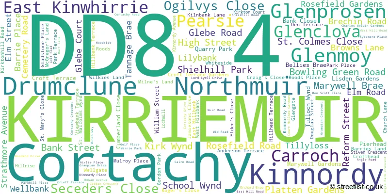
The largest settlement in the DD8 4 postal code is KIRRIEMUIR followed by Northmuir, and Glenclova.
The DD8 4 Postcode shares a border with PH11 8 (Alyth, Glenisla, Kilry), DD9 7 (BRECHIN, Edzell, Glenesk), DD8 3 (FORFAR, Lunanhead, Aberlemno), DD8 5 (KIRRIEMUIR, Westmuir, Lintrathen) and AB35 5 (BALLATER, Braemar, Crathie).
The sector is within the post town of KIRRIEMUIR.
DD8 4 is a postcode sector within the DD8 postcode district which is within the DD Dundee postcode area.
The Royal Mail delivery office for the DD8 4 postal sector is the Kirriemuir Delivery Office.
The area of the DD8 4 postcode sector is 118.28 square miles which is 306.34 square kilometres or 75,696.99 square acres.

Map of the DD8 4 Postcode Sector
Explore the DD8 4 postcode sector by using our free interactive map.
| D | D | 8 | - | 4 | X | X |
| D | D | 8 | Space | 4 | Letter | Letter |
Official List of Streets
Northmuir (25 Streets)
KIRRIEMUIR (82 Streets)
Drumclune (1 Streets)
Cortachy (1 Streets)
Unofficial Streets or Alternative Spellings
KIRRIEMUIR
SLADE GARDENS SLADE ROAD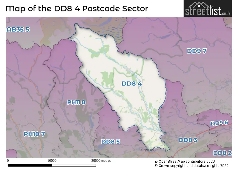
| The DD8 4 Sector is within these Local Authorities | |
|---|---|
| The DD8 4 Sector is within these Counties | |
| The DD8 4 Sector is within these Water Company Areas |