Given that each sector allows for 400 unique postcode combinations. Letters C, I, K, M, O and V are not allowed in the last two letters of a postcode. With 265 postcodes already in use, this leaves 135 units available.
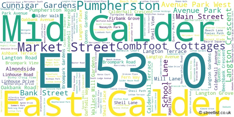
The largest settlement in the EH53 0 postal code is East Calder followed by Mid Calder, and Pumpherston.
The EH53 0 Postcode shares a border with EH27 8 (KIRKNEWTON, Wilkieston), EH28 8 (Ratho, NEWBRIDGE, Ratho Station), EH52 5 (BROXBURN, Uphall, East Mains Industrial Estate), EH54 5 (LIVINGSTON, Uphall Station, Houstoun Industrial Estate), EH54 6 (LIVINGSTON), EH54 9 (LIVINGSTON, Murieston, Bellsquarry) and EH55 8 (WEST CALDER, Polbeth, Addiewell).
The sector is within the post town of LIVINGSTON.
EH53 0 is a postcode sector within the EH5 postcode district which is within the EH Edinburgh postcode area.
The Royal Mail delivery office for the EH53 0 postal sector is the unknown.
The area of the EH53 0 postcode sector is 8.06 square miles which is 20.86 square kilometres or 5,155.75 square acres.

Map of the EH53 0 Postcode Sector
Explore the EH53 0 postcode sector by using our free interactive map.
| E | H | 5 | 3 | - | 0 | X | X |
| E | H | 5 | 3 | Space | 0 | Letter | Letter |
Official List of Streets
East Calder (100 Streets)
Mid Calder (42 Streets)
Pumpherston (26 Streets)
Unofficial Streets or Alternative Spellings
KIRKNEWTON
STATION ROADUphall Station
JAMES YOUNG AVENUE PUMPHERSTON ROADLIVINGSTON
CROMARTY COURT NEW CALDER MILL ROADHoustoun Industrial Estate
HOUSTOUN ROAD KELVIN SQUARE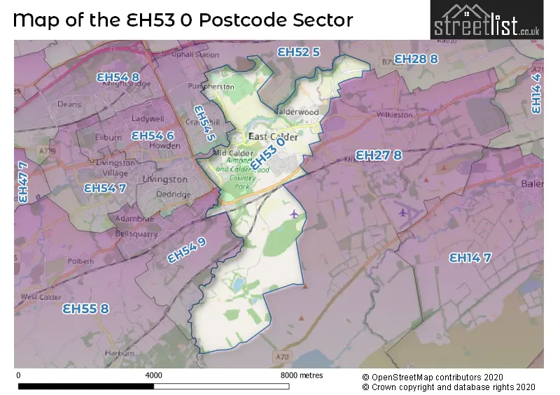
| The EH53 0 Sector is within these Local Authorities | |
|---|---|
| The EH53 0 Sector is within these Counties | |
| The EH53 0 Sector is within these Water Company Areas |