Given that each sector allows for 400 unique postcode combinations. Letters C, I, K, M, O and V are not allowed in the last two letters of a postcode. With 162 postcodes already in use, this leaves 238 units available.
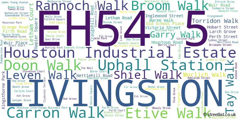
The largest settlement in the EH54 5 postal code is LIVINGSTON followed by Uphall Station, and Houstoun Industrial Estate.
The EH54 5 Postcode shares a border with EH54 8 (LIVINGSTON, Deans), EH52 5 (BROXBURN, Uphall, East Mains Industrial Estate), EH52 6 (Winchburgh, BROXBURN, Uphall), EH53 0 (East Calder, Mid Calder, Pumpherston) and EH54 6 (LIVINGSTON).
The sector is within the post town of LIVINGSTON.
EH54 5 is a postcode sector within the EH5 postcode district which is within the EH Edinburgh postcode area.
The Royal Mail delivery office for the EH54 5 postal sector is the unknown.
The area of the EH54 5 postcode sector is 1.64 square miles which is 4.25 square kilometres or 1,049.06 square acres.

Map of the EH54 5 Postcode Sector
Explore the EH54 5 postcode sector by using our free interactive map.
| E | H | 5 | 4 | - | 5 | X | X |
| E | H | 5 | 4 | Space | 5 | Letter | Letter |
Official List of Streets
LIVINGSTON (78 Streets)
Uphall Station (18 Streets)
Houstoun Industrial Estate (16 Streets)
Unofficial Streets or Alternative Spellings
Mid Calder
CUNNIGAR HILL VIEW PUMPHERSTON ROAD ALMOND EAST ALMOND EAST ROAD ALMOND INTERCHANGE ALMOND PARK ALMOND PATH ALMOND SOUTH ROAD ALMOND WEST ALMOND WEST ROAD ALMONDBANK PATH CAWBURN ROAD COUSLAND INTERCHANGE COUSLAND ROAD CRAIGSHILL EAST ROAD CRAIGSHILL STREET CRAIGSHILL WEST ROAD CRAIGSPARK PUMP TRACK GRANGE PATH HARRYSMUIR PATH HOUSTON ROAD HOUSTOUN INTERCHANGE LIVINGSTON ROAD MALL PATH RAILWAY PATH SOUTHPumpherston
UPHALL STATION ROADUphall
STATION ROADLIVINGSTON
ALMOND ROAD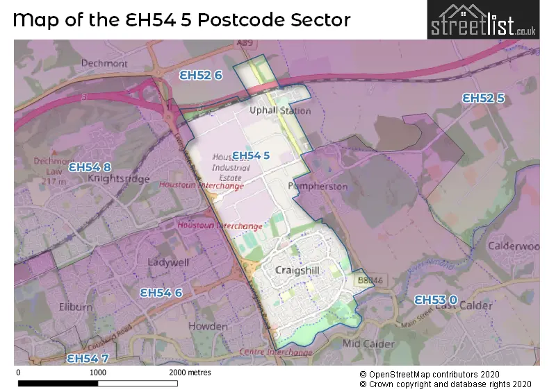
| The EH54 5 Sector is within these Local Authorities | |
|---|---|
| The EH54 5 Sector is within these Counties | |
| The EH54 5 Sector is within these Water Company Areas |