Given that each sector allows for 400 unique postcode combinations. Letters C, I, K, M, O and V are not allowed in the last two letters of a postcode. With 90 postcodes already in use, this leaves 310 units available.
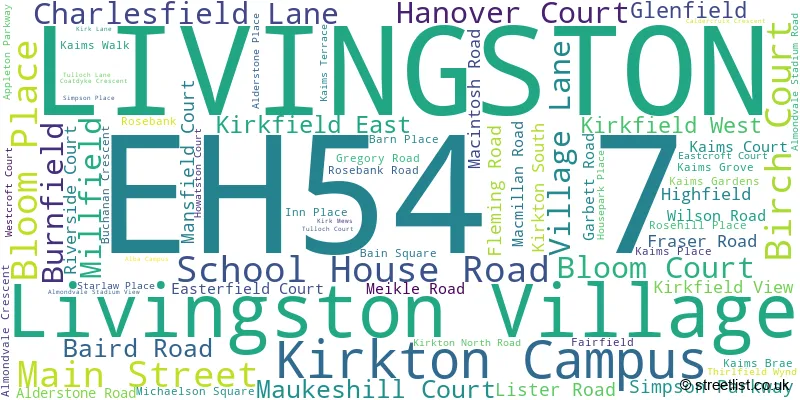
The largest settlement in the EH54 7 postal code is LIVINGSTON followed by Livingston Village, and Kirkton Campus.
The EH54 7 Postcode shares a border with EH47 7 (Blackburn, Seafield, BATHGATE), EH54 8 (LIVINGSTON, Deans), EH54 6 (LIVINGSTON), EH54 9 (LIVINGSTON, Murieston, Bellsquarry) and EH55 8 (WEST CALDER, Polbeth, Addiewell).
The sector is within the post town of LIVINGSTON.
EH54 7 is a postcode sector within the EH5 postcode district which is within the EH Edinburgh postcode area.
The Royal Mail delivery office for the EH54 7 postal sector is the unknown.
The area of the EH54 7 postcode sector is 2.35 square miles which is 6.09 square kilometres or 1,504.31 square acres.

Map of the EH54 7 Postcode Sector
Explore the EH54 7 postcode sector by using our free interactive map.
| E | H | 5 | 4 | - | 7 | X | X |
| E | H | 5 | 4 | Space | 7 | Letter | Letter |
Official List of Streets
LIVINGSTON (41 Streets)
Kirkton Campus (9 Streets)
Livingston Village (23 Streets)
Unofficial Streets or Alternative Spellings
LIVINGSTON
ALMONDVALE BOULEVARD ALMONDVALE WAY APPLETON DRIVE CHARLESFIELD ROAD KILNE PLACE LONGPARK PLACEHoustoun Industrial Estate
HOUSTOUN ROADDeans
DEANS ROADBATHGATE
STARLAW ROADSeafield
REDHOUSE ROAD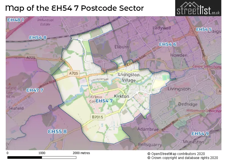
| The EH54 7 Sector is within these Local Authorities | |
|---|---|
| The EH54 7 Sector is within these Counties | |
| The EH54 7 Sector is within these Water Company Areas |