Given that each sector allows for 400 unique postcode combinations. Letters C, I, K, M, O and V are not allowed in the last two letters of a postcode. With 178 postcodes already in use, this leaves 222 units available.
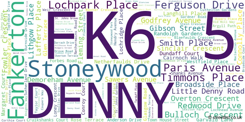
The largest settlement in the FK6 5 postal code is DENNY followed by Stoneywood, and Fankerton.
The FK6 5 Postcode shares a border with FK4 1 (BONNYBRIDGE, Banknock, Dennyloanhead), G63 0 (Balfron, Drymen, Fintry), G65 0 (Kilsyth), FK6 6 (DENNY), FK7 9 (STIRLING, Cambusbarron, St. Ninians), FK5 4 (LARBERT, Stenhousemuir, Torwood) and G65 9 (Kilsyth).
The sector is within the post town of DENNY.
FK6 5 is a postcode sector within the FK6 postcode district which is within the FK Falkirk postcode area.
The Royal Mail delivery office for the FK6 5 postal sector is the Denny Delivery Office.
The area of the FK6 5 postcode sector is 19.64 square miles which is 50.86 square kilometres or 12,568.93 square acres.

Map of the FK6 5 Postcode Sector
Explore the FK6 5 postcode sector by using our free interactive map.
| F | K | 6 | - | 5 | X | X |
| F | K | 6 | Space | 5 | Letter | Letter |
Official List of Streets
DENNY (99 Streets)
Stoneywood (14 Streets)
Unofficial Streets or Alternative Spellings
BONNYBRIDGE
LARBERT ROADDENNY
DUKE STREET CANNONBALL RUN CHANCEFIELD PLACE EAS DUBH HILL HOUSE ROAD KELT ROAD PIPEDREAM SPITTAL BRIDGE TAKMADOON ROAD THE RUNWAY WEIR CRESENTDennyloanhead
BANKHEAD CRESCENT DENNY ROAD PARK AVENUEWhins Of Milton
NEW LINE ROADKilsyth
TAK-MA-DOON ROAD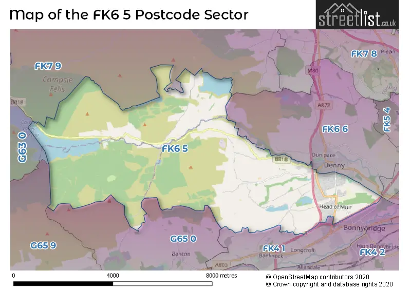
| The FK6 5 Sector is within these Local Authorities | |
|---|---|
| The FK6 5 Sector is within these Counties | |
| The FK6 5 Sector is within these Water Company Areas |