Given that each sector allows for 400 unique postcode combinations. Letters C, I, K, M, O and V are not allowed in the last two letters of a postcode. With 231 postcodes already in use, this leaves 169 units available.
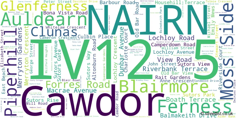
The largest settlement in the IV12 5 postal code is NAIRN followed by Auldearn, and Cawdor.
The IV12 5 Postcode shares a border with PH26 3 (GRANTOWN-ON-SPEY, Dulnain Bridge, Cromdale), IV2 7 (Culloden, Smithton, Ardersier), IV36 2 (FORRES, Dunphail, Dallas), PH23 3 (CARRBRIDGE, Bogroy), IV2 5 (Westhill, INVERNESS, Croy), IV13 7 (Tomatin) and IV12 4 (NAIRN).
The sector is within the post town of NAIRN.
IV12 5 is a postcode sector within the IV12 postcode district which is within the IV Inverness postcode area.
The Royal Mail delivery office for the IV12 5 postal sector is the Nairn Delivery Office.
The area of the IV12 5 postcode sector is 152.88 square miles which is 395.96 square kilometres or 97,843.08 square acres.

Map of the IV12 5 Postcode Sector
Explore the IV12 5 postcode sector by using our free interactive map.
| I | V | 1 | 2 | - | 5 | X | X |
| I | V | 1 | 2 | Space | 5 | Letter | Letter |
Official List of Streets
NAIRN (106 Streets)
Auldearn (17 Streets)
Blairmore (1 Streets)
Piperhill (1 Streets)
Unofficial Streets or Alternative Spellings
NAIRN
BRIDGE STREET CAIRN AVENUE CHURCH STREET LOCH AVENUE MOSS-SIDE BRAE MOSS-SIDE DRIVE MOSS-SIDE ROAD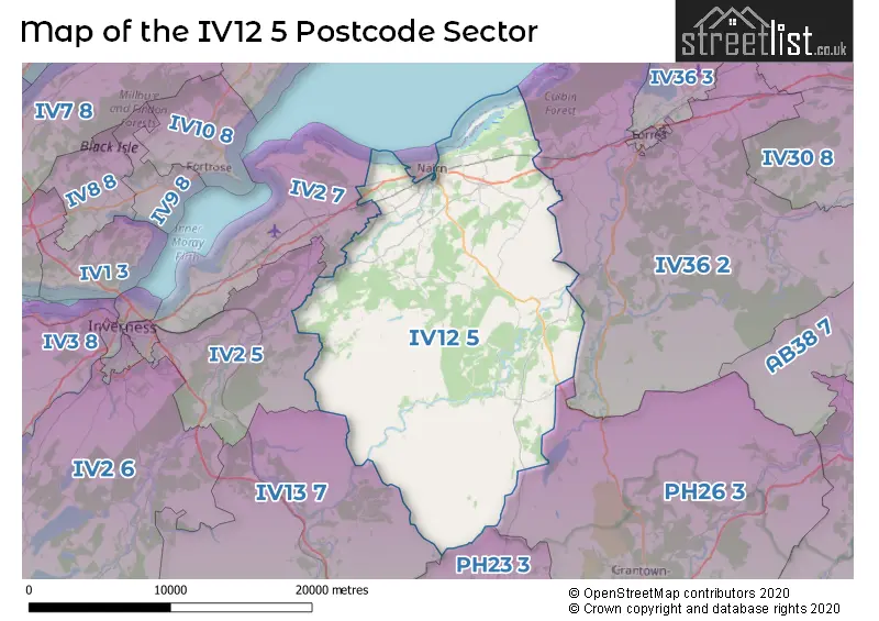
| The IV12 5 Sector is within these Local Authorities | |
|---|---|
| The IV12 5 Sector is within these Counties | |
| The IV12 5 Sector is within these Water Company Areas |