Given that each sector allows for 400 unique postcode combinations. Letters C, I, K, M, O and V are not allowed in the last two letters of a postcode. With 183 postcodes already in use, this leaves 217 units available.
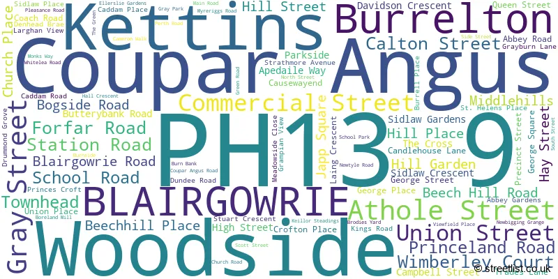
The largest settlement in the PH13 9 postal code is Coupar Angus followed by Burrelton, and Kettins.
The PH13 9 Postcode shares a border with PH12 8 (Meigle, Newtyle, Ardler), PH10 6 (BLAIRGOWRIE, Kinloch), PH11 8 (Alyth, Glenisla, Kilry), DD2 5 (Invergowrie, Longforgan, Birkhill), PH2 6 (Scone, Balbeggie, Guildtown), PH10 7 (Rattray, Bridge Of Cally, Kirkmichael) and PH14 9 (Inchture, Abernyte).
The sector is within the post town of BLAIRGOWRIE.
PH13 9 is a postcode sector within the PH13 postcode district which is within the PH Perth postcode area.
The Royal Mail delivery office for the PH13 9 postal sector is the Blairgowrie Delivery Office.
The area of the PH13 9 postcode sector is 35.11 square miles which is 90.94 square kilometres or 22,470.63 square acres.

Map of the PH13 9 Postcode Sector
Explore the PH13 9 postcode sector by using our free interactive map.
| P | H | 1 | 3 | - | 9 | X | X |
| P | H | 1 | 3 | Space | 9 | Letter | Letter |
Official List of Streets
Coupar Angus (67 Streets)
Kettins (5 Streets)
Woodside (5 Streets)
Burrelton (13 Streets)
BLAIRGOWRIE (1 Streets)
Unofficial Streets or Alternative Spellings
Ardler
MAIN STREETWolfhill
DUNSINNAN ROAD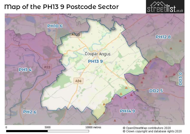
| The PH13 9 Sector is within these Local Authorities | |
|---|---|
| The PH13 9 Sector is within these Counties | |
| The PH13 9 Sector is within these Water Company Areas |