Given that each sector allows for 400 unique postcode combinations. Letters C, I, K, M, O and V are not allowed in the last two letters of a postcode. With 41 postcodes already in use, this leaves 359 units available.
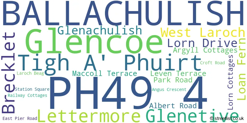
The largest settlement in the PH49 4 postal code is Glencoe followed by BALLACHULISH, and Glenetive.
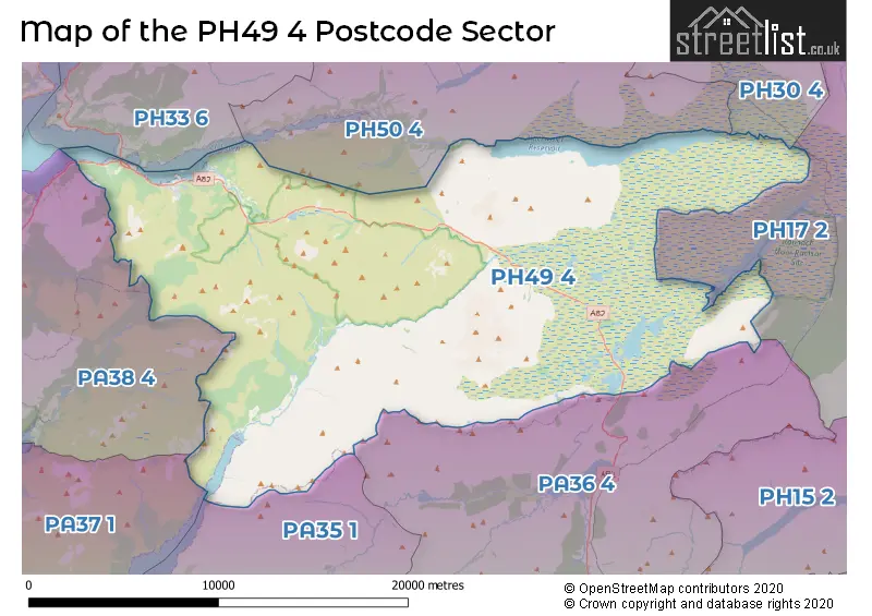
The PH49 4 Postcode shares a border with PA36 4 (BRIDGE OF ORCHY), PA35 1 (TAYNUILT, Kilchrenan, Dalavich), PA37 1 (Dunbeg, Benderloch, Connel), PA38 4 (APPIN, Duror, Port Appin), PH17 2 (Rannoch) and PH50 4 (KINLOCHLEVEN).
The sector is within the post town of BALLACHULISH.
PH49 4 is a postcode sector within the PH4 postcode district which is within the PH Perth postcode area.
The Royal Mail delivery office for the PH49 4 postal sector is the unknown.
The area of the PH49 4 postcode sector is 165.74 square miles which is 429.26 square kilometres or 106,073.30 square acres.

Map of the PH49 4 Postcode Sector
Explore the PH49 4 postcode sector by using our free interactive map.
| P | H | 4 | 9 | - | 4 | X | X |
| P | H | 4 | 9 | Space | 4 | Letter | Letter |
Official List of Streets
BALLACHULISH (13 Streets)
Glencoe (1 Streets)
| The PH49 4 Sector is within these Local Authorities | |
|---|---|
| The PH49 4 Sector is within these Counties | |
| The PH49 4 Sector is within these Water Company Areas |