Given that each sector allows for 400 unique postcode combinations. Letters C, I, K, M, O and V are not allowed in the last two letters of a postcode. With 75 postcodes already in use, this leaves 325 units available.
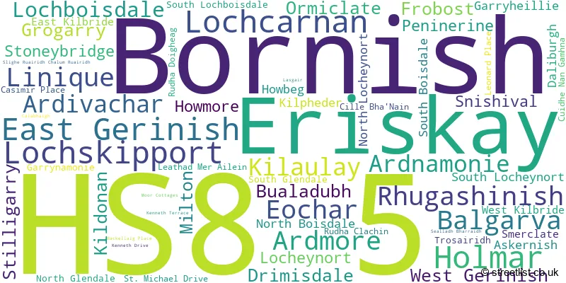
The largest settlement in the HS8 5 postal code is Lochboisdale followed by Daliburgh, and Eriskay.
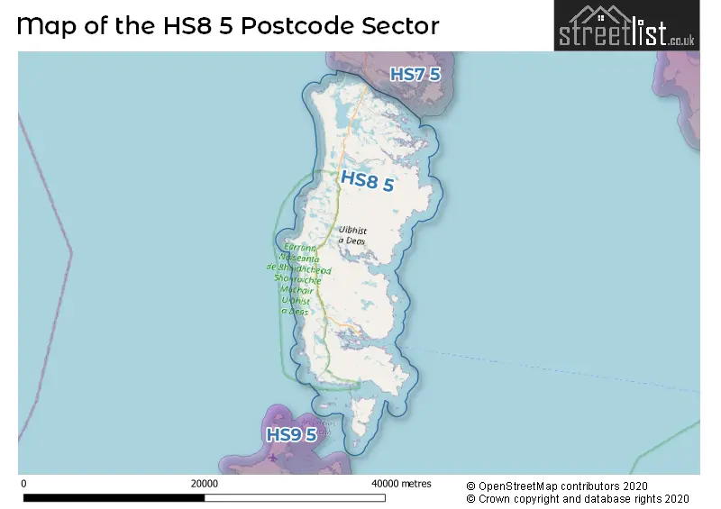
The sector is within the post town of ISLE OF SOUTH UIST.
HS8 5 is a postcode sector within the HS8 postcode district which is within the HS Outer Hebrides postcode area.
The Royal Mail delivery office for the HS8 5 postal sector is the Balivanich Scale Payment Delivery Office and Creagorry Scale Payment Delivery Office and Daliburgh Scale Payment Delivery Office and Eriskay Scale Payment Delivery Office and Howmore Scale Payment Delivery Office and Lochboisdale Scale Payment Delivery Office.
The area of the HS8 5 postcode sector is 120.84 square miles which is 312.98 square kilometres or 77,339.71 square acres.

Map of the HS8 5 Postcode Sector
Explore the HS8 5 postcode sector by using our free interactive map.
| H | S | 8 | - | 5 | X | X |
| H | S | 8 | Space | 5 | Letter | Letter |
Official List of Streets
Lochboisdale (5 Streets)
Daliburgh (4 Streets)
West Gerinish (1 Streets)
Eochar (2 Streets)
Howmore (1 Streets)
Eriskay (2 Streets)
South Boisdale (1 Streets)
West Kilbride (1 Streets)
Unofficial Streets or Alternative Spellings
| The HS8 5 Sector is within these Local Authorities | |
|---|---|
| The HS8 5 Sector is within these Counties | |
| The HS8 5 Sector is within these Water Company Areas |