Given that each sector allows for 400 unique postcode combinations. Letters C, I, K, M, O and V are not allowed in the last two letters of a postcode. With 139 postcodes already in use, this leaves 261 units available.
The AB54 8 postal code covers the settlement of HUNTLY.
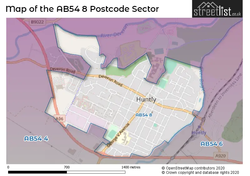
The AB54 8 Postcode shares a border with AB54 4 (Rhynie, HUNTLY, Cairnie) and AB54 6 (Forgue, Drumblade, HUNTLY).
The sector is within the post town of HUNTLY.
AB54 8 is a postcode sector within the AB54 postcode district which is within the AB Aberdeen postcode area.
The Royal Mail delivery office for the AB54 8 postal sector is the Huntly Delivery Office.
The area of the AB54 8 postcode sector is 0.65 square miles which is 1.69 square kilometres or 418.76 square acres.

Map of the AB54 8 Postcode Sector
Explore the AB54 8 postcode sector by using our free interactive map.
| A | B | 5 | 4 | - | 8 | X | X |
| A | B | 5 | 4 | Space | 8 | Letter | Letter |
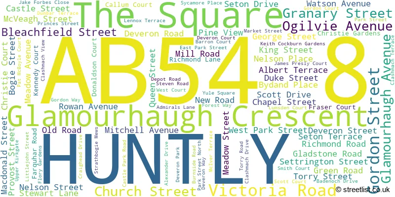
Official List of Streets
HUNTLY (94 Streets)
Unofficial Streets or Alternative Spellings
| The AB54 8 Sector is within these Local Authorities | |
|---|---|
| The AB54 8 Sector is within these Counties | |
| The AB54 8 Sector is within these Water Company Areas |