The CH60 5 postcode sector is within the county of Merseyside.
Did you know? According to the 2021 Census, the CH60 5 postcode sector is home to a bustling 1,735 residents!
Given that each sector allows for 400 unique postcode combinations. Letters C, I, K, M, O and V are not allowed in the last two letters of a postcode. With 42 postcodes already in use, this leaves 358 units available.
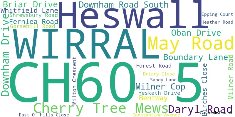
The largest settlements in the CH60 5 postal code are WIRRAL and Heswall.
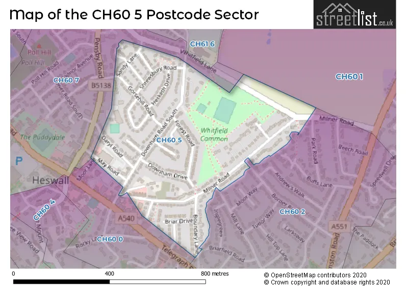
The CH60 5 Postcode shares a border with CH60 0 (WIRRAL, Heswall), CH60 1 (Heswall, WIRRAL), CH60 2 (WIRRAL, Heswall) and CH60 7 (Heswall, WIRRAL).
The sector is within the post town of WIRRAL.
CH60 5 is a postcode sector within the CH6 postcode district which is within the CH Chester postcode area.
The Royal Mail delivery office for the CH60 5 postal sector is the Flint Delivery Office.
The area of the CH60 5 postcode sector is 0.16 square miles which is 0.43 square kilometres or 105.13 square acres.

Map of the CH60 5 Postcode Sector
Explore the CH60 5 postcode sector by using our free interactive map.
| C | H | 6 | 0 | - | 5 | X | X |
| C | H | 6 | 0 | Space | 5 | Letter | Letter |
Official List of Streets
WIRRAL (19 Streets)
Unofficial Streets or Alternative Spellings
House Prices in the CH60 5 Postcode Sector
| Type of Property | 2018 Average | 2018 Sales | 2017 Average | 2017 Sales | 2016 Average | 2016 Sales | 2015 Average | 2015 Sales |
|---|---|---|---|---|---|---|---|---|
| Detached | £322,500 | 2 | £268,500 | 4 | £340,500 | 4 | £443,000 | 2 |
| Semi-Detached | £232,594 | 26 | £232,793 | 20 | £192,284 | 32 | £209,468 | 17 |
| Terraced | £148,000 | 1 | £176,402 | 9 | £144,333 | 6 | £203,875 | 4 |
| Flats | £70,938 | 8 | £112,000 | 1 | £115,000 | 3 | £0 | 0 |
| The CH60 5 Sector is within these Local Authorities |
|
|---|---|
| The CH60 5 Sector is within these Counties |
|
| The CH60 5 Sector is within these Water Company Areas |
|