The CH61 9 postcode sector is within the county of Merseyside.
Did you know? According to the 2021 Census, the CH61 9 postcode sector is home to a bustling 2,002 residents!
Given that each sector allows for 400 unique postcode combinations. Letters C, I, K, M, O and V are not allowed in the last two letters of a postcode. With 48 postcodes already in use, this leaves 352 units available.
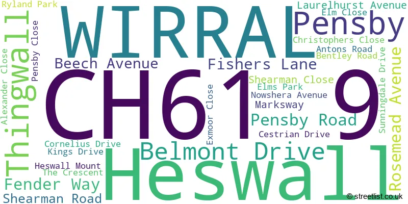
The largest settlement in the CH61 9 postal code is WIRRAL followed by Heswall, and Thingwall.
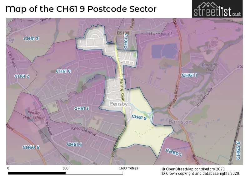
The CH61 9 Postcode shares a border with CH61 7 (WIRRAL, Thingwall, Heswall), CH61 8 (WIRRAL, Heswall), CH60 1 (Heswall, WIRRAL), CH61 3 (WIRRAL, Irby, Thingwall), CH61 5 (WIRRAL, Heswall), CH61 1 (WIRRAL, Heswall, Thingwall) and CH61 6 (WIRRAL, Heswall).
The sector is within the post town of WIRRAL.
CH61 9 is a postcode sector within the CH6 postcode district which is within the CH Chester postcode area.
The Royal Mail delivery office for the CH61 9 postal sector is the unknown.
The area of the CH61 9 postcode sector is 0.29 square miles which is 0.75 square kilometres or 186.10 square acres.

Map of the CH61 9 Postcode Sector
Explore the CH61 9 postcode sector by using our free interactive map.
| C | H | 6 | 1 | - | 9 | X | X |
| C | H | 6 | 1 | Space | 9 | Letter | Letter |
Official List of Streets
WIRRAL (20 Streets)
Pensby (2 Streets)
Thingwall (3 Streets)
Unofficial Streets or Alternative Spellings
House Prices in the CH61 9 Postcode Sector
| Type of Property | 2018 Average | 2018 Sales | 2017 Average | 2017 Sales | 2016 Average | 2016 Sales | 2015 Average | 2015 Sales |
|---|---|---|---|---|---|---|---|---|
| Detached | £259,500 | 7 | £217,200 | 5 | £221,279 | 7 | £190,000 | 6 |
| Semi-Detached | £180,723 | 20 | £181,902 | 30 | £180,810 | 29 | £163,378 | 23 |
| Terraced | £137,167 | 3 | £152,000 | 1 | £140,000 | 2 | £128,833 | 3 |
| Flats | £0 | 0 | £63,000 | 1 | £0 | 0 | £0 | 0 |
| The CH61 9 Sector is within these Local Authorities |
|
|---|---|
| The CH61 9 Sector is within these Counties |
|
| The CH61 9 Sector is within these Water Company Areas |
|