Given that each sector allows for 400 unique postcode combinations. Letters C, I, K, M, O and V are not allowed in the last two letters of a postcode. With 215 postcodes already in use, this leaves 185 units available.
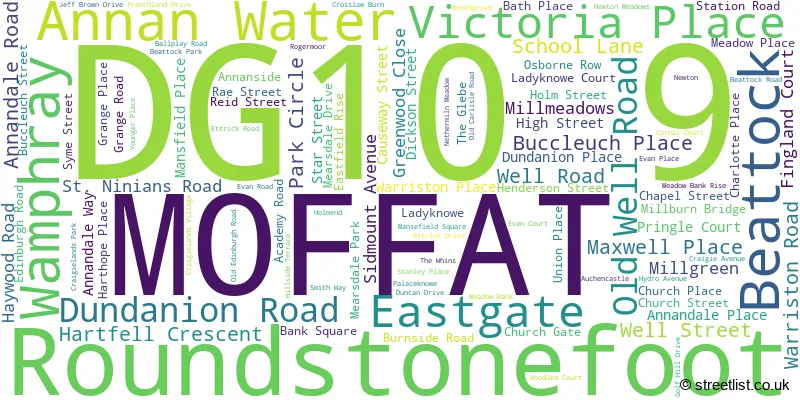
The largest settlement in the DG10 9 postal code is MOFFAT followed by Beattock, and Wamphray.
The DG10 9 Postcode shares a border with DG1 1 (DUMFRIES, Locharbriggs, Heathhall), DG1 3 (DUMFRIES, Heathhall, Parkgate), DG11 1 (Lochmaben, LOCKERBIE, Hightae), DG11 2 (LOCKERBIE, Boreland, Corrie), ML12 6 (BIGGAR, Broughton, Symington), DG13 0 (LANGHOLM, Eskdalemuir, Westerkirk) and TD7 5 (SELKIRK, Ettrickbridge, Yarrow).
The sector is within the post town of MOFFAT.
DG10 9 is a postcode sector within the DG10 postcode district which is within the DG Dumfries and Galloway postcode area.
The Royal Mail delivery office for the DG10 9 postal sector is the Moffat Delivery Office.
The area of the DG10 9 postcode sector is 120.83 square miles which is 312.95 square kilometres or 77,331.23 square acres.

Map of the DG10 9 Postcode Sector
Explore the DG10 9 postcode sector by using our free interactive map.
| D | G | 1 | 0 | - | 9 | X | X |
| D | G | 1 | 0 | Space | 9 | Letter | Letter |
Official List of Streets
MOFFAT (83 Streets)
Beattock (14 Streets)
Unofficial Streets or Alternative Spellings

| The DG10 9 Sector is within these Local Authorities | |
|---|---|
| The DG10 9 Sector is within these Counties | |
| The DG10 9 Sector is within these Water Company Areas |