Given that each sector allows for 400 unique postcode combinations. Letters C, I, K, M, O and V are not allowed in the last two letters of a postcode. With 259 postcodes already in use, this leaves 141 units available.
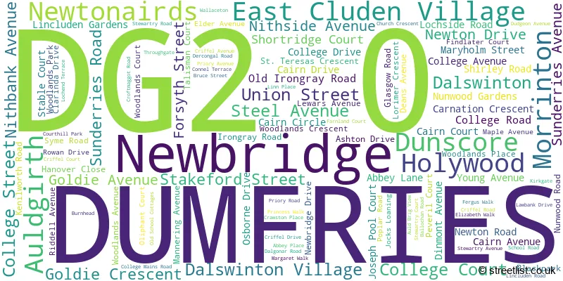
The largest settlement in the DG2 0 postal code is DUMFRIES followed by Auldgirth, and Dunscore.
The DG2 0 Postcode shares a border with DG1 1 (DUMFRIES, Locharbriggs, Heathhall), DG2 7 (DUMFRIES), DG2 9 (DUMFRIES, Terregles, Irongray), DG3 4 (Moniaive, THORNHILL, Penpont), DG1 2 (DUMFRIES), DG3 5 (THORNHILL, Closeburn, Carronbridge) and DG7 3 (Dalry, New Galloway, Crossmichael).
The sector is within the post town of DUMFRIES.
DG2 0 is a postcode sector within the DG2 postcode district which is within the DG Dumfries and Galloway postcode area.
The Royal Mail delivery office for the DG2 0 postal sector is the Dumfries Delivery Office.
The area of the DG2 0 postcode sector is 55.90 square miles which is 144.79 square kilometres or 35,777.76 square acres.

Map of the DG2 0 Postcode Sector
Explore the DG2 0 postcode sector by using our free interactive map.
| D | G | 2 | - | 0 | X | X |
| D | G | 2 | Space | 0 | Letter | Letter |
Official List of Streets
DUMFRIES (82 Streets)
Holywood (6 Streets)
Auldgirth (6 Streets)
Dunscore (6 Streets)
Dalswinton Village (1 Streets)
Newbridge (1 Streets)
Unofficial Streets or Alternative Spellings
DUMFRIES
ALLOWAY ROAD DUNLOP ROAD GLASGOW STREET WAVERLEY ROAD BLACK BRAE BLACKMOSS COURT BROOMRIG COURT COLDSIDE ROAD CUCKOO BRIDGE ROUNDABOUT DALAWOODIE COURT DROVE ROAD DUMFRIES BYPASS GUILYHILL COURT HARDLAWBANK COURT HOLM ROAD JARDINGTON COURT KILNCROFT COURT LAWBANK LINCLUDEN STREET LOCHSIDE COURT LOCHSIDE ROAD ROUNDABOUT LOCHVIEW PLACE MANSE ROAD MAXWELLTON PATH MAXWELLTOWN RAILWAY PATH NEW BRIDGE OLD STATION YARD QUEEN OF THE SOUTH VIADUCT STEIL ROAD TOWNSEND TERRACE UNDERWOOD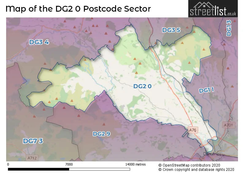
| The DG2 0 Sector is within these Local Authorities | |
|---|---|
| The DG2 0 Sector is within these Counties | |
| The DG2 0 Sector is within these Water Company Areas |