Given that each sector allows for 400 unique postcode combinations. Letters C, I, K, M, O and V are not allowed in the last two letters of a postcode. With 228 postcodes already in use, this leaves 172 units available.
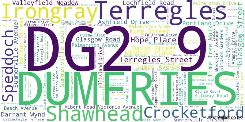
The largest settlement in the DG2 9 postal code is DUMFRIES followed by Terregles, and Irongray.
The DG2 9 Postcode shares a border with DG2 0 (DUMFRIES, Auldgirth, Dunscore), DG2 7 (DUMFRIES), DG2 8 (Southerness, New Abbey, Crocketford) and DG7 3 (Dalry, New Galloway, Crossmichael).
The sector is within the post town of DUMFRIES.
DG2 9 is a postcode sector within the DG2 postcode district which is within the DG Dumfries and Galloway postcode area.
The Royal Mail delivery office for the DG2 9 postal sector is the Dumfries Delivery Office.
The area of the DG2 9 postcode sector is 32.98 square miles which is 85.43 square kilometres or 21,109.40 square acres.

Map of the DG2 9 Postcode Sector
Explore the DG2 9 postcode sector by using our free interactive map.
| D | G | 2 | - | 9 | X | X |
| D | G | 2 | Space | 9 | Letter | Letter |
Official List of Streets
DUMFRIES (116 Streets)
Shawhead (1 Streets)
Unofficial Streets or Alternative Spellings
DUMFRIES
BUCCLEUCH STREET CASTLE DOUGLAS ROAD CLARINDA DRIVE COLLEGE STREET GALLOWAY STREET GOLDIE AVENUE HOWGATE STREET IRONGRAY ROAD LAURIEKNOWE LEWARS AVENUE LOCHSIDE ROAD NUNWOOD ROAD ROSEMOUNT STREET UNION STREET ANWORTH AVENUE BANSHALLOCH BRIDGE BARNSOUL BRIDGE COFFIN PAD DUMFRIES BYPASS DUNSCORE ROAD KIRKLANDS ROAD MAXWELLTON PATH MAXWELLTON STATION ROAD MAXWELLTOWN RAILWAY PATH MAYFIELD PARK NUNWOOD ROSEBANK BRIDGE ROUTING BRIDGE SCARR BRIDGE SHAWHEAD ROAD STATION ROAD WELL STREET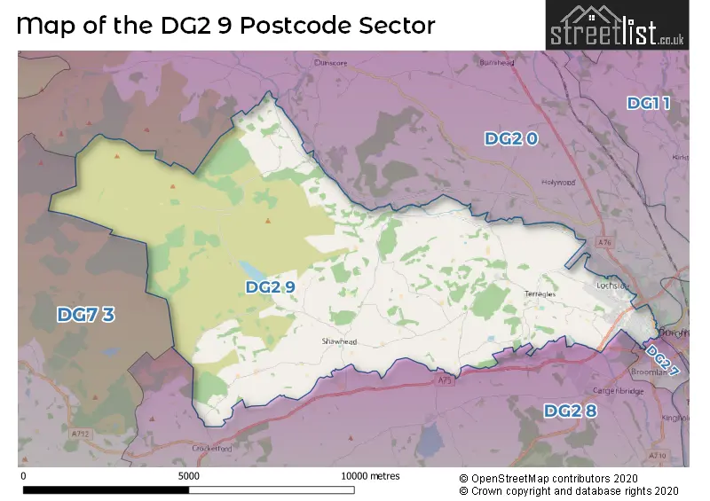
| The DG2 9 Sector is within these Local Authorities | |
|---|---|
| The DG2 9 Sector is within these Counties | |
| The DG2 9 Sector is within these Water Company Areas |