Given that each sector allows for 400 unique postcode combinations. Letters C, I, K, M, O and V are not allowed in the last two letters of a postcode. With 192 postcodes already in use, this leaves 208 units available.
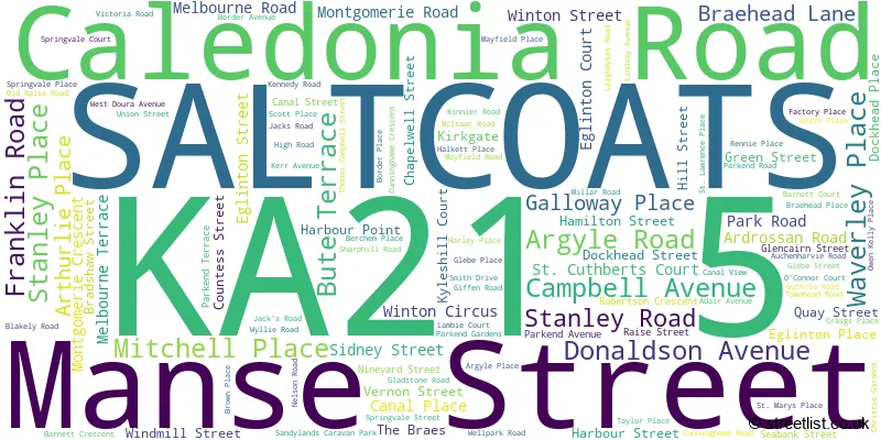
The KA21 5 postal code covers the settlement of SALTCOATS.
The KA21 5 Postcode shares a border with KA20 3 (STEVENSTON), KA20 4 (STEVENSTON), KA21 6 (SALTCOATS), KA22 8 (ARDROSSAN) and KA22 7 (ARDROSSAN).
The sector is within the post town of SALTCOATS.
KA21 5 is a postcode sector within the KA21 postcode district which is within the KA Kilmarnock postcode area.
The Royal Mail delivery office for the KA21 5 postal sector is the Saltcoats Delivery Office.
The area of the KA21 5 postcode sector is 0.75 square miles which is 1.93 square kilometres or 477.83 square acres.

Map of the KA21 5 Postcode Sector
Explore the KA21 5 postcode sector by using our free interactive map.
| K | A | 2 | 1 | - | 5 | X | X |
| K | A | 2 | 1 | Space | 5 | Letter | Letter |
Official List of Streets
SALTCOATS (114 Streets)
Unofficial Streets or Alternative Spellings
SALTCOATS
DYKESMAINS ROAD HOGARTH AVENUE MCGILLIVRAY AVENUE MURRAY AVENUE ARTHUR STREET BRAES ROAD BURN ROAD ERSKINE PLACE FINDLAYS BRAE JAMES MILLER CRESCENT KERRS LANE KYLESHILL SANDYLANDS 12 SANDYLANDS 13 SANDYLANDS WAY SEAVIEW ROAD VICTORIA PLACE WELLPARK LANEARDROSSAN
SORBIE ROADSALTCOATS,
HIGH ROAD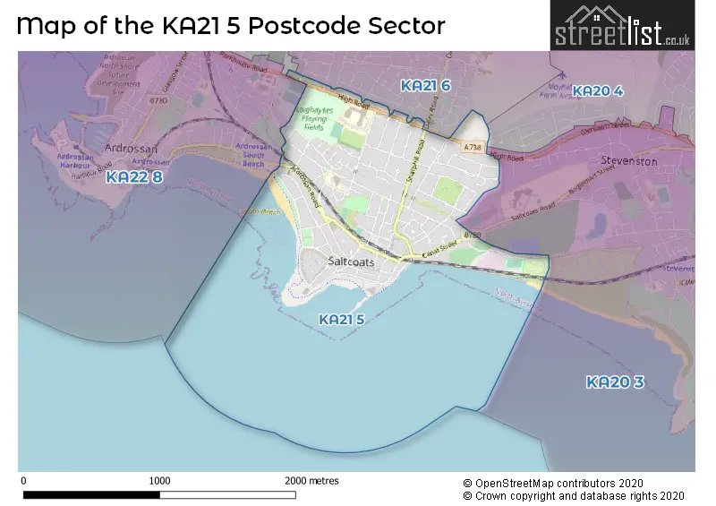
| The KA21 5 Sector is within these Local Authorities | |
|---|---|
| The KA21 5 Sector is within these Counties | |
| The KA21 5 Sector is within these Water Company Areas |