Given that each sector allows for 400 unique postcode combinations. Letters C, I, K, M, O and V are not allowed in the last two letters of a postcode. With 127 postcodes already in use, this leaves 273 units available.
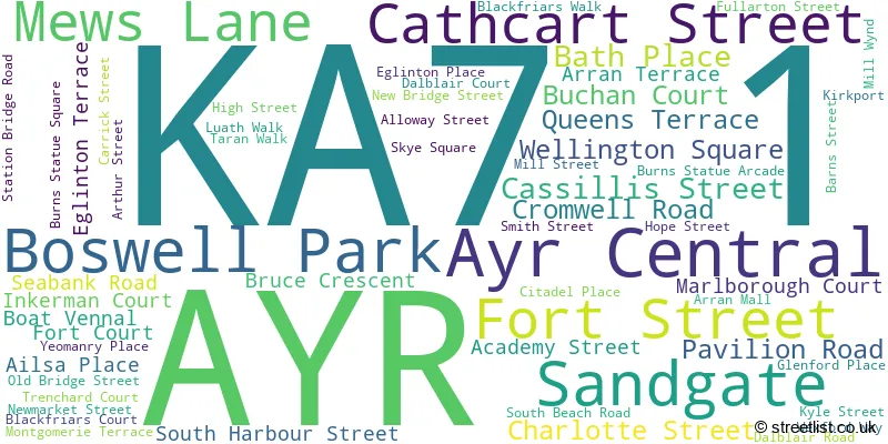
The largest settlements in the KA7 1 postal code are AYR and Ayr Central.
The KA7 1 Postcode shares a border with KA7 2 (AYR) and KA7 3 (AYR).
The sector is within the post town of AYR.
KA7 1 is a postcode sector within the KA7 postcode district which is within the KA Kilmarnock postcode area.
The Royal Mail delivery office for the KA7 1 postal sector is the Ayr Delivery Office.
The area of the KA7 1 postcode sector is 0.31 square miles which is 0.81 square kilometres or 200.94 square acres.

Map of the KA7 1 Postcode Sector
Explore the KA7 1 postcode sector by using our free interactive map.
| K | A | 7 | - | 1 | X | X |
| K | A | 7 | Space | 1 | Letter | Letter |
Official List of Streets
AYR (55 Streets)
Ayr Central (3 Streets)
Unofficial Streets or Alternative Spellings
AYR
ALLOWAY PLACE KILLOCH PLACE MILLER ROAD PARKHOUSE STREET WELLINGTON LANE BARNS STREET LANE CHARLOTTE STREET LANE CITADEL LANE COW WYND DALBLAIR WAY DOUGLAS LANE DOUGLAS STREET ESPLANADE KIRK PORT LORNE ARCADE NILE COURT PLACE DE SAINT-GERMAIN-EN-LAYE QUEENS TERRACE LANE ST JOHN STREET SYKE SQUARE TURNERS BRIDGE UNION ARCADE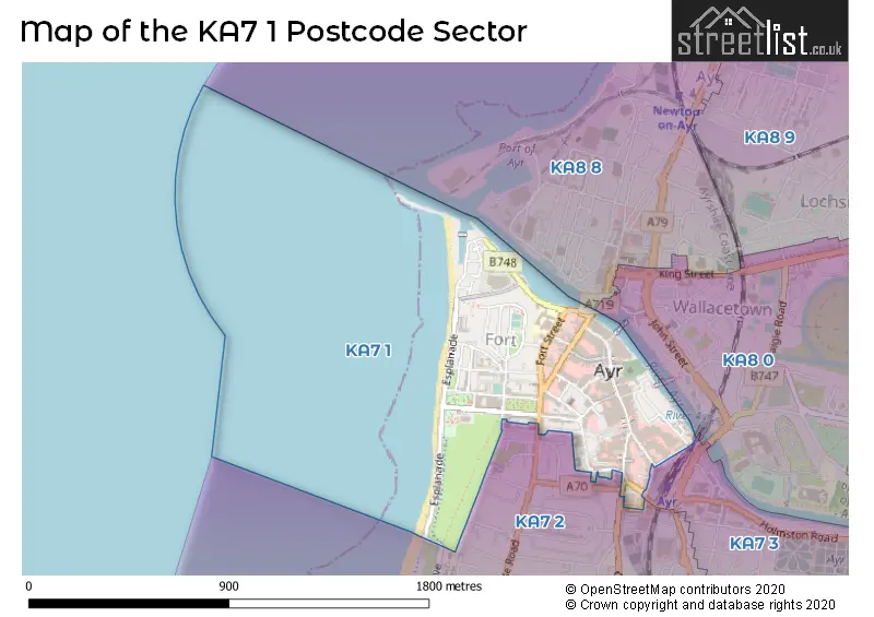
| The KA7 1 Sector is within these Local Authorities | |
|---|---|
| The KA7 1 Sector is within these Counties | |
| The KA7 1 Sector is within these Water Company Areas |