The L10 7 postcode sector is within the county of Merseyside.
Did you know? According to the 2021 Census, the L10 7 postcode sector is home to a bustling 2,069 residents!
Given that each sector allows for 400 unique postcode combinations. Letters C, I, K, M, O and V are not allowed in the last two letters of a postcode. With 38 postcodes already in use, this leaves 362 units available.
The L10 7 postal code covers the settlement of LIVERPOOL.
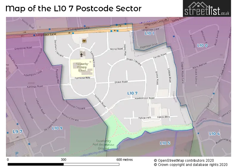
The L10 7 Postcode shares a border with L10 9 (LIVERPOOL, Fazakerley), L10 1 (LIVERPOOL, Fazakerley), L10 0 (LIVERPOOL, Fazakerley, Walton) and L10 4 (LIVERPOOL, Fazakerley).
The sector is within the post town of LIVERPOOL.
L10 7 is a postcode sector within the L10 postcode district which is within the L Liverpool postcode area.
The Royal Mail delivery office for the L10 7 postal sector is the Walton (l) Delivery Office.
The area of the L10 7 postcode sector is 0.13 square miles which is 0.32 square kilometres or 80.11 square acres.
Waterways within the L10 7 postcode sector include the River Alt.

Map of the L10 7 Postcode Sector
Explore the L10 7 postcode sector by using our free interactive map.
| L | 1 | 0 | - | 7 | X | X |
| L | 1 | 0 | Space | 7 | Letter | Letter |
Official List of Streets
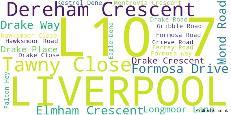
LIVERPOOL (22 Streets)
Unofficial Streets or Alternative Spellings
Schools and Places of Education Within the L10 7 Postcode Sector
Fazakerley Primary School
Community school
Formosa Drive, Liverpool, Merseyside, L10 7LD
Head: Mrs Sharon Bennett
Ofsted Rating: Good
Inspection: 2020-03-11 (1534 days ago)
Website: Visit Fazakerley Primary School Website
Phone: 01514743060
Number of Pupils: 429
House Prices in the L10 7 Postcode Sector
| Type of Property | 2018 Average | 2018 Sales | 2017 Average | 2017 Sales | 2016 Average | 2016 Sales | 2015 Average | 2015 Sales |
|---|---|---|---|---|---|---|---|---|
| Detached | £0 | 0 | £145,000 | 1 | £100,000 | 1 | £62,000 | 1 |
| Semi-Detached | £82,000 | 1 | £77,333 | 3 | £0 | 0 | £97,550 | 1 |
| Terraced | £74,853 | 17 | £80,265 | 17 | £71,862 | 13 | £65,797 | 16 |
| Flats | £68,000 | 3 | £48,750 | 2 | £87,000 | 1 | £0 | 0 |
Important Postcodes L10 7 in the Postcode Sector
L10 7LD is the postcode for Fazakerley J & I Cp School, Formosa Drive
| The L10 7 Sector is within these Local Authorities |
|
|---|---|
| The L10 7 Sector is within these Counties |
|
| The L10 7 Sector is within these Water Company Areas |
|