The L33 3 postcode sector stands on the Lancashire and Merseyside border.
Did you know? According to the 2021 Census, the L33 3 postcode sector is home to a bustling 72 residents!
Given that each sector allows for 400 unique postcode combinations. Letters C, I, K, M, O and V are not allowed in the last two letters of a postcode. With 13 postcodes already in use, this leaves 387 units available.
The largest settlement in the L33 3 postal code is LIVERPOOL followed by Kirkby, and Knowsley Industrial Park.
The L33 3 Postcode shares a border with WA11 7 (ST. HELENS, Rainford, Crank), L33 7 (Knowsley Industrial Park, LIVERPOOL, Kirkby), L33 9 (LIVERPOOL, Kirkby), L34 8 (Knowsley), WA10 5 (Eccleston, ST. HELENS), L33 4 (LIVERPOOL, Kirkby, Simonswood) and L39 0 (Bickerstaffe).
The sector is within the post town of LIVERPOOL.
L33 3 is a postcode sector within the L3 postcode district which is within the L Liverpool postcode area.
The Royal Mail delivery office for the L33 3 postal sector is the Liverpool 1-3.
The area of the L33 3 postcode sector is 2.90 square miles which is 7.50 square kilometres or 1,853.30 square acres.


Map of the L33 3 Postcode Sector
Explore the L33 3 postcode sector by using our free interactive map.
| L | 3 | 3 | - | 3 | X | X |
| L | 3 | 3 | Space | 3 | Letter | Letter |
Official List of Streets
Kirkby (1 Streets)
LIVERPOOL (8 Streets)
Knowsley Industrial Park (1 Streets)
Unofficial Streets or Alternative Spellings
Bickerstaffe
COACH ROAD MOLLYS LANE MOSS END WAY NEW CUT LANEGlazebury
EAST LANCASHIRE ROADLIVERPOOL
SPINNEY ROAD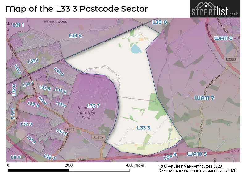
House Prices in the L33 3 Postcode Sector
| Type of Property | 2018 Average | 2018 Sales | 2017 Average | 2017 Sales | 2016 Average | 2016 Sales | 2015 Average | 2015 Sales |
|---|---|---|---|---|---|---|---|---|
| Detached | £0 | 0 | £0 | 0 | £0 | 0 | £0 | 0 |
| Semi-Detached | £164,000 | 1 | £0 | 0 | £0 | 0 | £0 | 0 |
| Terraced | £0 | 0 | £0 | 0 | £0 | 0 | £0 | 0 |
| Flats | £0 | 0 | £0 | 0 | £0 | 0 | £0 | 0 |
| The L33 3 Sector is within these Local Authorities |
|
|---|---|
| The L33 3 Sector is within these Counties |
|
| The L33 3 Sector is within these Water Company Areas |
|
Tourist Attractions within the L33 3 Postcode Area
We found 1 visitor attractions within the L3 postcode area
| Acorn Farm |
|---|
| Farms |
| Farm / Rare Breeds / Farm Animals |
| View Acorn Farm on Google Maps |