The L38 9 postcode sector is within the county of Merseyside.
Did you know? According to the 2021 Census, the L38 9 postcode sector is home to a bustling 1,183 residents!
Given that each sector allows for 400 unique postcode combinations. Letters C, I, K, M, O and V are not allowed in the last two letters of a postcode. With 31 postcodes already in use, this leaves 369 units available.
The L38 9 postal code covers the settlement of Hightown.
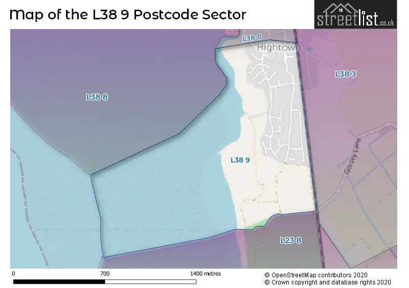
The L38 9 Postcode shares a border with L38 0 (Hightown, LIVERPOOL), L23 8 (LIVERPOOL, Crosby) and L38 3 (Hightown).
The sector is within the post town of LIVERPOOL.
L38 9 is a postcode sector within the L3 postcode district which is within the L Liverpool postcode area.
The Royal Mail delivery office for the L38 9 postal sector is the Liverpool 1-3.
The area of the L38 9 postcode sector is 0.32 square miles which is 0.84 square kilometres or 206.47 square acres.

Map of the L38 9 Postcode Sector
Explore the L38 9 postcode sector by using our free interactive map.
| L | 3 | 8 | - | 9 | X | X |
| L | 3 | 8 | Space | 9 | Letter | Letter |
Official List of Streets
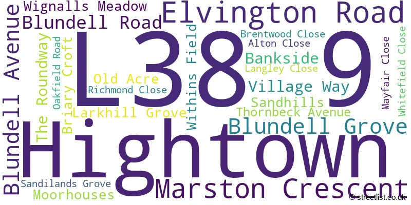
Hightown (24 Streets)
Unofficial Streets or Alternative Spellings
House Prices in the L38 9 Postcode Sector
| Type of Property | 2018 Average | 2018 Sales | 2017 Average | 2017 Sales | 2016 Average | 2016 Sales | 2015 Average | 2015 Sales |
|---|---|---|---|---|---|---|---|---|
| Detached | £287,833 | 12 | £282,056 | 18 | £218,000 | 12 | £217,133 | 19 |
| Semi-Detached | £192,250 | 4 | £238,750 | 4 | £169,664 | 7 | £169,650 | 3 |
| Terraced | £0 | 0 | £0 | 0 | £213,000 | 1 | £0 | 0 |
| Flats | £0 | 0 | £0 | 0 | £0 | 0 | £0 | 0 |
| The L38 9 Sector is within these Local Authorities |
|
|---|---|
| The L38 9 Sector is within these Counties |
|
| The L38 9 Sector is within these Water Company Areas |
|