The L34 5 postcode sector is within the county of Merseyside.
Did you know? According to the 2021 Census, the L34 5 postcode sector is home to a bustling 2,009 residents!
Given that each sector allows for 400 unique postcode combinations. Letters C, I, K, M, O and V are not allowed in the last two letters of a postcode. With 76 postcodes already in use, this leaves 324 units available.
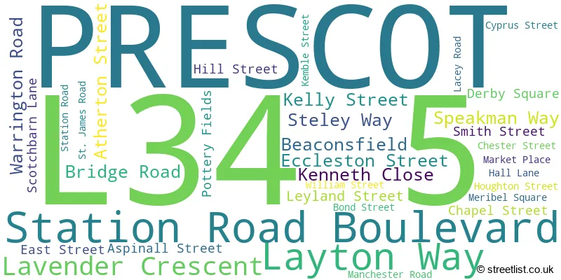
The L34 5 postal code covers the settlement of PRESCOT.
The L34 5 Postcode shares a border with L35 5 (PRESCOT, Whiston), L34 6 (PRESCOT, Eccleston Lane Ends), L34 1 (PRESCOT), L34 2 (PRESCOT, Eccleston Park) and L34 3 (PRESCOT).
The sector is within the post town of PRESCOT.
L34 5 is a postcode sector within the L34 postcode district which is within the L Liverpool postcode area.
The Royal Mail delivery office for the L34 5 postal sector is the Prescot Delivery Office.
The area of the L34 5 postcode sector is 0.17 square miles which is 0.43 square kilometres or 106.05 square acres.

Map of the L34 5 Postcode Sector
Explore the L34 5 postcode sector by using our free interactive map.
| L | 3 | 4 | - | 5 | X | X |
| L | 3 | 4 | Space | 5 | Letter | Letter |
Official List of Streets
PRESCOT (33 Streets)
Unofficial Streets or Alternative Spellings
Bold Heath
WARRINGTON ROADPRESCOT
BRETHERTON ROAD CHURCH STREET COLUMBIA ROAD HIGH STREET KINGSWAY MILL STREET POOL AVENUE PRESCOT PARK WAY QUEENS ROAD SEWELL STREET TINLING CLOSE WYCHERLEY STREET ACKERS STREET ASPINAL STREET MCDONALDS DRIVE-THROUGH MILL STREET PATH OLIVER LYME ROAD PEMBERTONS COURT ST HELENS ROAD WOOD STREET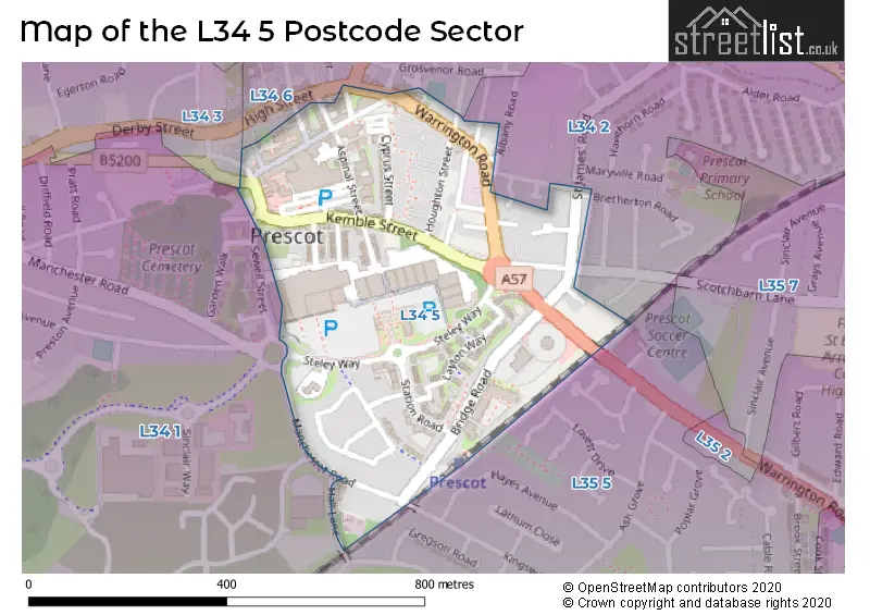
House Prices in the L34 5 Postcode Sector
| Type of Property | 2018 Average | 2018 Sales | 2017 Average | 2017 Sales | 2016 Average | 2016 Sales | 2015 Average | 2015 Sales |
|---|---|---|---|---|---|---|---|---|
| Detached | £177,000 | 1 | £175,000 | 1 | £207,317 | 3 | £200,995 | 2 |
| Semi-Detached | £95,000 | 1 | £141,667 | 3 | £149,333 | 3 | £148,087 | 11 |
| Terraced | £86,681 | 8 | £89,650 | 12 | £83,000 | 15 | £104,180 | 11 |
| Flats | £72,143 | 7 | £78,813 | 8 | £81,950 | 40 | £78,699 | 31 |
| The L34 5 Sector is within these Local Authorities |
|
|---|---|
| The L34 5 Sector is within these Counties |
|
| The L34 5 Sector is within these Water Company Areas |
|