The L37 6 postcode sector is within the county of Merseyside.
Did you know? According to the 2021 Census, the L37 6 postcode sector is home to a bustling 3,144 residents!
Given that each sector allows for 400 unique postcode combinations. Letters C, I, K, M, O and V are not allowed in the last two letters of a postcode. With 84 postcodes already in use, this leaves 316 units available.
The L37 6 postal code covers the settlement of Formby.
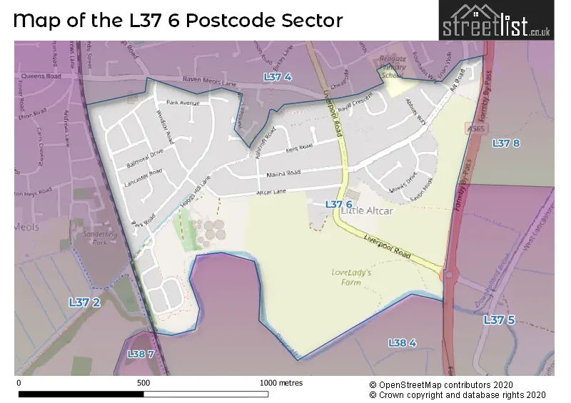
The L37 6 Postcode shares a border with L37 5 (LIVERPOOL, Great Altcar), L37 4 (Formby, LIVERPOOL), L38 7 (LIVERPOOL), L37 2 (Formby), L37 8 (Formby) and L38 4 (Hightown).
The sector is within the post town of LIVERPOOL.
L37 6 is a postcode sector within the L37 postcode district which is within the L Liverpool postcode area.
The Royal Mail delivery office for the L37 6 postal sector is the Formby Delivery Office.
The area of the L37 6 postcode sector is 0.47 square miles which is 1.21 square kilometres or 298.31 square acres.
Waterways within the L37 6 postcode sector include the River Alt.

Map of the L37 6 Postcode Sector
Explore the L37 6 postcode sector by using our free interactive map.
| L | 3 | 7 | - | 6 | X | X |
| L | 3 | 7 | Space | 6 | Letter | Letter |
Official List of Streets
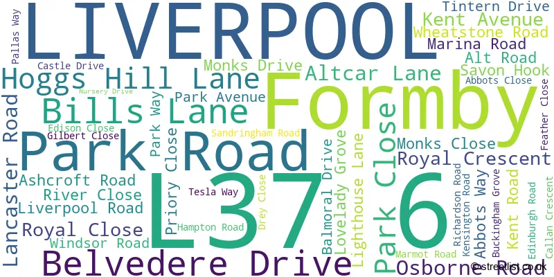
Formby (55 Streets)
Unofficial Streets or Alternative Spellings
House Prices in the L37 6 Postcode Sector
| Type of Property | 2018 Average | 2018 Sales | 2017 Average | 2017 Sales | 2016 Average | 2016 Sales | 2015 Average | 2015 Sales |
|---|---|---|---|---|---|---|---|---|
| Detached | £286,250 | 6 | £270,786 | 7 | £319,123 | 34 | £281,696 | 20 |
| Semi-Detached | £208,649 | 37 | £200,728 | 32 | £201,058 | 44 | £180,804 | 56 |
| Terraced | £208,800 | 5 | £220,000 | 1 | £150,000 | 1 | £99,000 | 5 |
| Flats | £122,998 | 3 | £107,500 | 2 | £98,000 | 1 | £114,000 | 1 |
Important Postcodes L37 6 in the Postcode Sector
L37 6EW is the postcode for Sefton Professional Development Centre, 225 Park Road
| The L37 6 Sector is within these Local Authorities |
|
|---|---|
| The L37 6 Sector is within these Counties |
|
| The L37 6 Sector is within these Water Company Areas |
|