Given that each sector allows for 400 unique postcode combinations. Letters C, I, K, M, O and V are not allowed in the last two letters of a postcode. With 130 postcodes already in use, this leaves 270 units available.
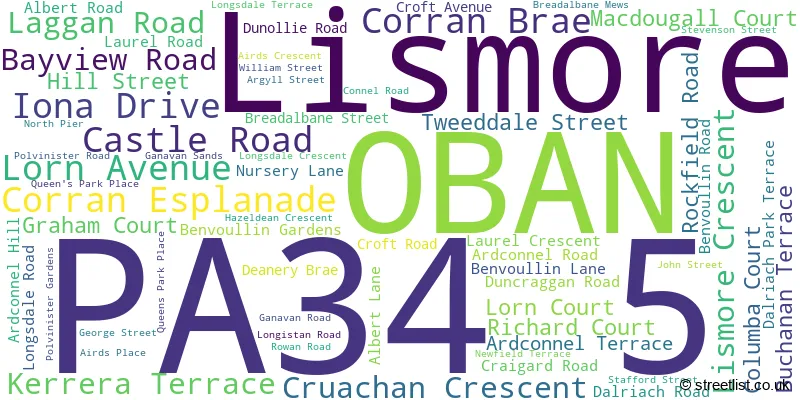
The largest settlements in the PA34 5 postal code are OBAN and Lismore.
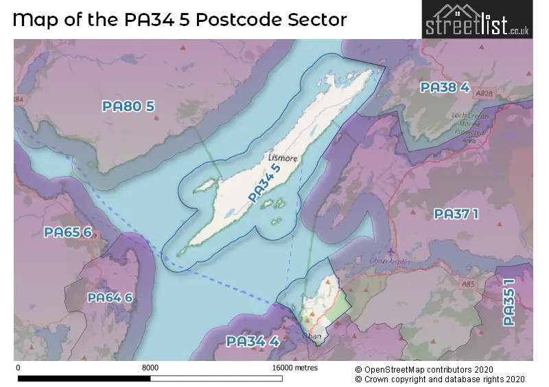
The PA34 5 Postcode shares a border with PA34 4 (OBAN, Kilmelford, Kilmore) and PA37 1 (Dunbeg, Benderloch, Connel).
The sector is within the post town of OBAN.
PA34 5 is a postcode sector within the PA34 postcode district which is within the PA Paisley postcode area.
The Royal Mail delivery office for the PA34 5 postal sector is the Oban Delivery Office and Lismore Scale Payment Delivery Office and Morvern Scale Payment Delivery Office.
The area of the PA34 5 postcode sector is 11.07 square miles which is 28.68 square kilometres or 7,086.21 square acres.

Map of the PA34 5 Postcode Sector
Explore the PA34 5 postcode sector by using our free interactive map.
| P | A | 3 | 4 | - | 5 | X | X |
| P | A | 3 | 4 | Space | 5 | Letter | Letter |
Official List of Streets
OBAN (61 Streets)
Lismore (1 Streets)
Unofficial Streets or Alternative Spellings
| The PA34 5 Sector is within these Local Authorities | |
|---|---|
| The PA34 5 Sector is within these Counties | |
| The PA34 5 Sector is within these Water Company Areas |