Given that each sector allows for 400 unique postcode combinations. Letters C, I, K, M, O and V are not allowed in the last two letters of a postcode. With 39 postcodes already in use, this leaves 361 units available.
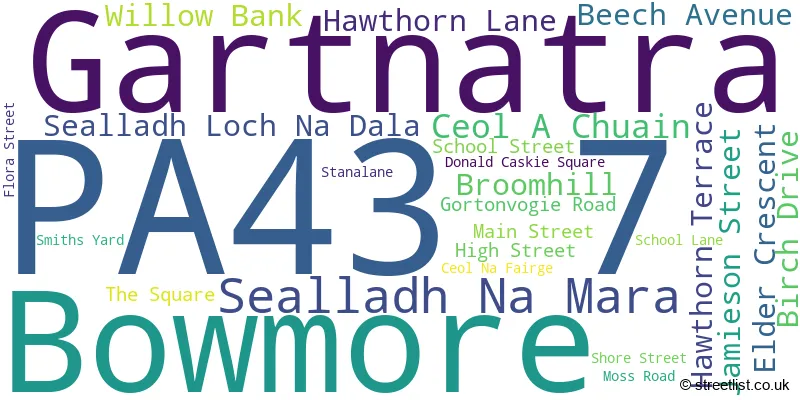
The PA43 7 postal code covers the settlement of Bowmore.
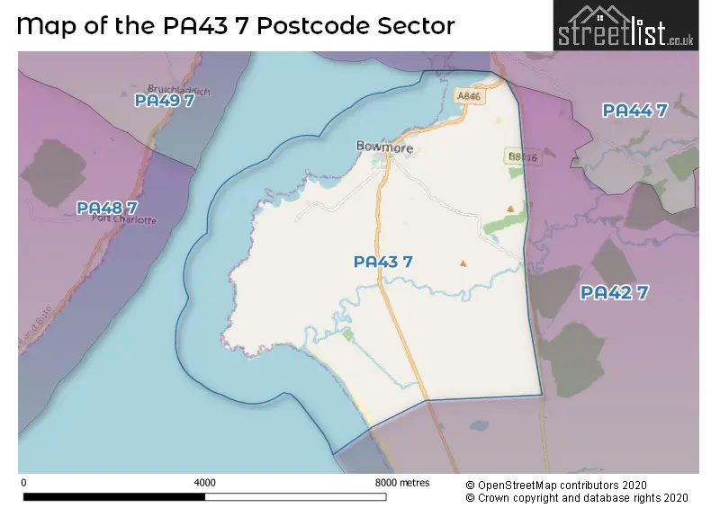
The PA43 7 Postcode shares a border with PA42 7 (Port Ellen, The Oa, Kildalton) and PA44 7 (Bridgend, Gruinart).
The sector is within the post town of ISLE OF ISLAY.
PA43 7 is a postcode sector within the PA43 postcode district which is within the PA Paisley postcode area.
The Royal Mail delivery office for the PA43 7 postal sector is the Bowmore Scale Payment Delivery Office.
The area of the PA43 7 postcode sector is 12.81 square miles which is 33.18 square kilometres or 8,197.89 square acres.

Map of the PA43 7 Postcode Sector
Explore the PA43 7 postcode sector by using our free interactive map.
| P | A | 4 | 3 | - | 7 | X | X |
| P | A | 4 | 3 | Space | 7 | Letter | Letter |
Official List of Streets
Bowmore (24 Streets)
Unofficial Streets or Alternative Spellings
| The PA43 7 Sector is within these Local Authorities | |
|---|---|
| The PA43 7 Sector is within these Counties | |
| The PA43 7 Sector is within these Water Company Areas |