The S70 3 postcode sector is within the county of South Yorkshire.
Did you know? According to the 2021 Census, the S70 3 postcode sector is home to a bustling 8,639 residents!
Given that each sector allows for 400 unique postcode combinations. Letters C, I, K, M, O and V are not allowed in the last two letters of a postcode. With 188 postcodes already in use, this leaves 212 units available.
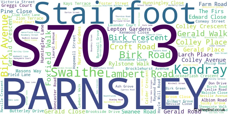
The largest settlement in the S70 3 postal code is BARNSLEY followed by Kendray, and Stairfoot.
The S70 3 Postcode shares a border with S73 8 (Wombwell), S70 1 (BARNSLEY), S70 4 (BARNSLEY, Worsbrough, Worsbrough Dale), S71 2 (BARNSLEY, Monk Bretton), S71 1 (BARNSLEY) and S71 5 (BARNSLEY, Lundwood, Ardsley).
The sector is within the post town of BARNSLEY.
S70 3 is a postcode sector within the S70 postcode district which is within the S Sheffield postcode area.
The Royal Mail delivery office for the S70 3 postal sector is the Barnsley Delivery Office.
The area of the S70 3 postcode sector is 1.48 square miles which is 3.84 square kilometres or 948.06 square acres.
Waterways within the S70 3 postcode sector include the River Dearne, Dearne Canal.

Map of the S70 3 Postcode Sector
Explore the S70 3 postcode sector by using our free interactive map.
| S | 7 | 0 | - | 3 | X | X |
| S | 7 | 0 | Space | 3 | Letter | Letter |
Official List of Streets
BARNSLEY (104 Streets)
Swaithe (2 Streets)
Stairfoot (3 Streets)
Unofficial Streets or Alternative Spellings
BARNSLEY
BLUEBELL BANK GRANGE LANE KING GEORGE TERRACE PINDAR STREET PONTEFRACT ROAD ROSEBERY STREET TANK ROW BARNSLEY TRADE PARK BIRK HOUSE LANE BIRK TERRACE BLEACHCROFT WAY CAULK LANE LOCKEAFLASH GARDENS MITCHELLS STREET OLD OAK VIEW PINDAR OAKES COTTAGES SHEPCOTE TERRACE ST. JOSEPHS GARDENS STAIRFOOT ROUNDABOUT SWAITHE HALL THORNTON TERRACE TRANS PENNINE TRAIL WHEATLEY ROAD WOMBWELL ROADArdsley
SANDYGATE LANEWorsbrough
WHITE CROSS LANEWombwell
ALBANY CLOSE WOMBWELL LANE
House Prices in the S70 3 Postcode Sector
| Type of Property | 2018 Average | 2018 Sales | 2017 Average | 2017 Sales | 2016 Average | 2016 Sales | 2015 Average | 2015 Sales |
|---|---|---|---|---|---|---|---|---|
| Detached | £175,531 | 16 | £178,737 | 19 | £154,256 | 8 | £175,938 | 8 |
| Semi-Detached | £109,021 | 59 | £104,959 | 54 | £86,036 | 48 | £82,460 | 36 |
| Terraced | £92,848 | 53 | £105,352 | 67 | £83,992 | 37 | £96,168 | 41 |
| Flats | £72,000 | 3 | £74,000 | 1 | £56,250 | 2 | £60,990 | 5 |
Important Postcodes S70 3 in the Postcode Sector
S70 3DL is the postcode for The Barnsley Academy, Farm Road, Kendray, and Barnsley Academy, Farm Road
S70 3DT is the postcode for Hunningley Primary School, Hunningley Lane, and HUNNINGLEY PRIMARY SCHOOL, HUNNINGLEY LANE, STAIRFOOT
S70 3NG is the postcode for Kendray Resource Centre, Thornton Road, The Forest Academy, Thornton Road, Kendray, The Forest Academy, Thornton Road, and The Forest Academy, 26 Thornton Road, Kendray
S70 3RD is the postcode for Kendray Hospital Lodge, Doncaster Road, and South West Yorkshire Partnership NHS Foundation Trust, Kendray Hospital, Doncaster Road
| The S70 3 Sector is within these Local Authorities |
|
|---|---|
| The S70 3 Sector is within these Counties |
|
| The S70 3 Sector is within these Water Company Areas |
|