The SW1Y 6 postcode sector is within the county of Greater London.
Did you know? According to the 2021 Census, the SW1Y 6 postcode sector is home to a bustling 229 residents!
Given that each sector allows for 400 unique postcode combinations. Letters C, I, K, M, O and V are not allowed in the last two letters of a postcode. With 67 postcodes already in use, this leaves 333 units available.
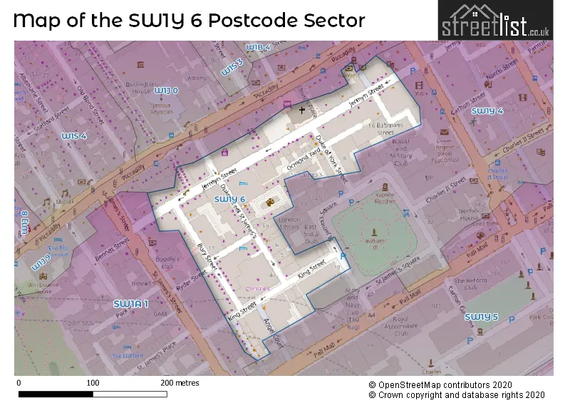
The largest settlements in the SW1Y 6 postal code are LONDON and ST JAMES'S .
The SW1Y 6 Postcode shares a border with SW1Y 5 (LONDON ), SW1A 1 (LONDON ) and SW1Y 4 (LONDON ).
The sector is within the post town of LONDON.
SW1Y 6 is a postcode sector within the SW1Y postcode district which is within the SW South West London postcode area.
The Royal Mail delivery office for the SW1Y 6 postal sector is the unknown.
The area of the SW1Y 6 postcode sector is 0.02 square miles which is 0.06 square kilometres or 14.65 square acres.

Map of the SW1Y 6 Postcode Sector
Explore the SW1Y 6 postcode sector by using our free interactive map.
| S | W | 1 | Y | - | 6 | X | X |
| S | W | 1 | Y | Space | 6 | Letter | Letter |
Official List of Streets
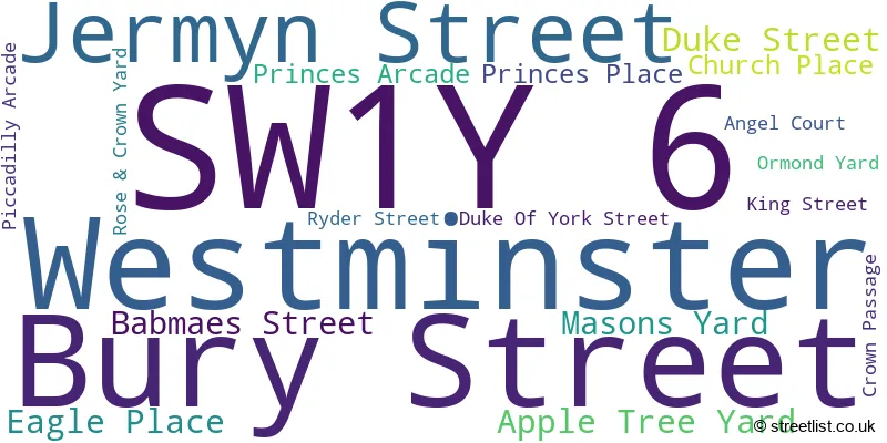
Westminster (18 Streets)
Unofficial Streets or Alternative Spellings
House Prices in the SW1Y 6 Postcode Sector
| Type of Property | 2018 Average | 2018 Sales | 2017 Average | 2017 Sales | 2016 Average | 2016 Sales | 2015 Average | 2015 Sales |
|---|---|---|---|---|---|---|---|---|
| Detached | £0 | 0 | £0 | 0 | £0 | 0 | £0 | 0 |
| Semi-Detached | £0 | 0 | £0 | 0 | £0 | 0 | £0 | 0 |
| Terraced | £0 | 0 | £0 | 0 | £0 | 0 | £0 | 0 |
| Flats | £1,975,000 | 4 | £3,193,500 | 14 | £1,967,053 | 6 | £883,143 | 7 |
| The SW1Y 6 Sector is within these Local Authorities |
|
|---|---|
| The SW1Y 6 Sector is within these Counties |
|
| The SW1Y 6 Sector is within these Water Company Areas |
|