The SY3 6 postcode sector is within the county of Shropshire.
Did you know? According to the 2021 Census, the SY3 6 postcode sector is home to a bustling 2,202 residents!
Given that each sector allows for 400 unique postcode combinations. Letters C, I, K, M, O and V are not allowed in the last two letters of a postcode. With 56 postcodes already in use, this leaves 344 units available.
The SY3 6 postal code covers the settlement of SHREWSBURY.
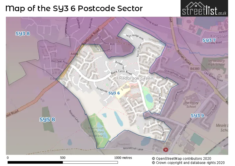
The SY3 6 Postcode shares a border with SY5 8 (Hanwood, Bowbrook, Longden) and SY3 9 (SHREWSBURY, Meole Brace).
The sector is within the post town of SHREWSBURY.
SY3 6 is a postcode sector within the SY3 postcode district which is within the SY Shrewsbury postcode area.
The Royal Mail delivery office for the SY3 6 postal sector is the Shrewsbury Delivery Office.
The area of the SY3 6 postcode sector is 0.26 square miles which is 0.68 square kilometres or 168.38 square acres.

Map of the SY3 6 Postcode Sector
Explore the SY3 6 postcode sector by using our free interactive map.
| S | Y | 3 | - | 6 | X | X |
| S | Y | 3 | Space | 6 | Letter | Letter |
Official List of Streets
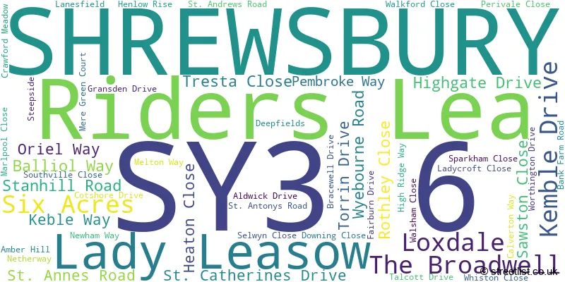
SHREWSBURY (51 Streets)
Unofficial Streets or Alternative Spellings
House Prices in the SY3 6 Postcode Sector
| Type of Property | 2018 Average | 2018 Sales | 2017 Average | 2017 Sales | 2016 Average | 2016 Sales | 2015 Average | 2015 Sales |
|---|---|---|---|---|---|---|---|---|
| Detached | £281,820 | 23 | £299,810 | 20 | £276,386 | 18 | £261,650 | 23 |
| Semi-Detached | £167,300 | 20 | £169,670 | 20 | £168,397 | 20 | £166,923 | 13 |
| Terraced | £152,167 | 6 | £143,000 | 2 | £156,100 | 5 | £153,500 | 2 |
| Flats | £142,933 | 6 | £126,457 | 7 | £128,658 | 6 | £127,286 | 7 |
Important Postcodes SY3 6 in the Postcode Sector
SY3 6DU is the postcode for Radbrook Green Surgery, Bank Farm Road
SY3 6DZ is the postcode for Radbrook Primary School, Calverton Way
| The SY3 6 Sector is within these Local Authorities |
|
|---|---|
| The SY3 6 Sector is within these Counties |
|
| The SY3 6 Sector is within these Water Company Areas |
|