The CH60 3 postcode sector stands on the Cheshire and Merseyside border.
Did you know? According to the 2021 Census, the CH60 3 postcode sector is home to a bustling 1,126 residents!
Given that each sector allows for 400 unique postcode combinations. Letters C, I, K, M, O and V are not allowed in the last two letters of a postcode. With 37 postcodes already in use, this leaves 363 units available.
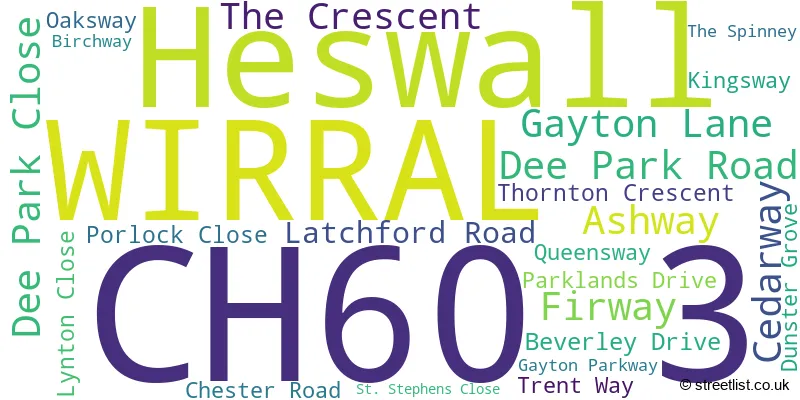
The largest settlements in the CH60 3 postal code are WIRRAL and Heswall.
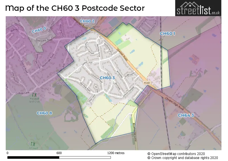
The CH60 3 Postcode shares a border with CH60 8 (WIRRAL, Heswall), CH64 3 (NESTON, Clayhill Light Industrial Park, Parkgate), CH60 1 (Heswall, WIRRAL) and CH60 2 (WIRRAL, Heswall).
The sector is within the post town of WIRRAL.
CH60 3 is a postcode sector within the CH6 postcode district which is within the CH Chester postcode area.
The Royal Mail delivery office for the CH60 3 postal sector is the unknown.
The area of the CH60 3 postcode sector is 0.43 square miles which is 1.11 square kilometres or 273.74 square acres.

Map of the CH60 3 Postcode Sector
Explore the CH60 3 postcode sector by using our free interactive map.
| C | H | 6 | 0 | - | 3 | X | X |
| C | H | 6 | 0 | Space | 3 | Letter | Letter |
Official List of Streets
WIRRAL (17 Streets)
Unofficial Streets or Alternative Spellings
House Prices in the CH60 3 Postcode Sector
| Type of Property | 2018 Average | 2018 Sales | 2017 Average | 2017 Sales | 2016 Average | 2016 Sales | 2015 Average | 2015 Sales |
|---|---|---|---|---|---|---|---|---|
| Detached | £488,725 | 15 | £475,850 | 17 | £446,929 | 14 | £421,745 | 11 |
| Semi-Detached | £0 | 0 | £367,250 | 4 | £332,975 | 2 | £311,500 | 2 |
| Terraced | £0 | 0 | £0 | 0 | £0 | 0 | £0 | 0 |
| Flats | £0 | 0 | £0 | 0 | £0 | 0 | £0 | 0 |
| The CH60 3 Sector is within these Local Authorities |
|
|---|---|
| The CH60 3 Sector is within these Counties |
|
| The CH60 3 Sector is within these Water Company Areas |
|