The CH60 9 postcode sector is within the county of Merseyside.
Did you know? According to the 2021 Census, the CH60 9 postcode sector is home to a bustling 1,261 residents!
Given that each sector allows for 400 unique postcode combinations. Letters C, I, K, M, O and V are not allowed in the last two letters of a postcode. With 51 postcodes already in use, this leaves 349 units available.
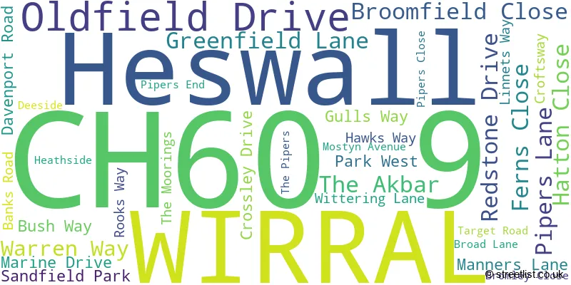
The largest settlements in the CH60 9 postal code are Heswall and WIRRAL.
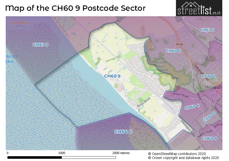
The CH60 9 Postcode shares a border with CH60 4 (WIRRAL, Heswall), CH60 6 (WIRRAL, Heswall) and CH61 0 (Thurstaston, Irby, WIRRAL).
The sector is within the post town of WIRRAL.
CH60 9 is a postcode sector within the CH6 postcode district which is within the CH Chester postcode area.
The Royal Mail delivery office for the CH60 9 postal sector is the unknown.
The area of the CH60 9 postcode sector is 0.75 square miles which is 1.95 square kilometres or 481.79 square acres.

Map of the CH60 9 Postcode Sector
Explore the CH60 9 postcode sector by using our free interactive map.
| C | H | 6 | 0 | - | 9 | X | X |
| C | H | 6 | 0 | Space | 9 | Letter | Letter |
Official List of Streets
Heswall (10 Streets)
WIRRAL (23 Streets)
Unofficial Streets or Alternative Spellings
House Prices in the CH60 9 Postcode Sector
| Type of Property | 2018 Average | 2018 Sales | 2017 Average | 2017 Sales | 2016 Average | 2016 Sales | 2015 Average | 2015 Sales |
|---|---|---|---|---|---|---|---|---|
| Detached | £490,502 | 20 | £476,370 | 23 | £444,545 | 22 | £407,223 | 11 |
| Semi-Detached | £300,000 | 4 | £307,125 | 4 | £311,488 | 4 | £338,667 | 3 |
| Terraced | £0 | 0 | £237,500 | 2 | £0 | 0 | £0 | 0 |
| Flats | £261,000 | 2 | £0 | 0 | £132,500 | 2 | £162,000 | 1 |
| The CH60 9 Sector is within these Local Authorities |
|
|---|---|
| The CH60 9 Sector is within these Counties |
|
| The CH60 9 Sector is within these Water Company Areas |
|