The CH61 1 postcode sector is within the county of Merseyside.
Did you know? According to the 2021 Census, the CH61 1 postcode sector is home to a bustling 1,371 residents!
Given that each sector allows for 400 unique postcode combinations. Letters C, I, K, M, O and V are not allowed in the last two letters of a postcode. With 46 postcodes already in use, this leaves 354 units available.
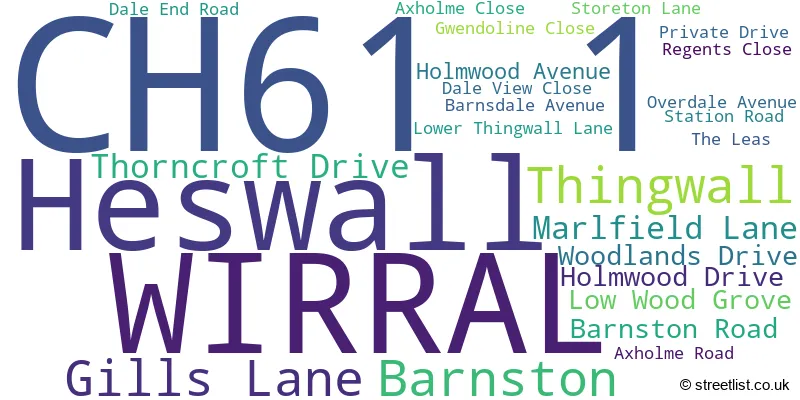
The largest settlement in the CH61 1 postal code is WIRRAL followed by Heswall, and Thingwall.
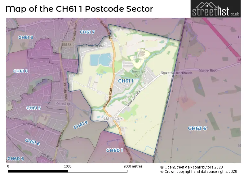
The CH61 1 Postcode shares a border with CH61 7 (WIRRAL, Thingwall, Heswall), CH63 6 (WIRRAL, Higher Bebington, Brimstage), CH60 1 (Heswall, WIRRAL) and CH61 9 (WIRRAL, Heswall, Thingwall).
The sector is within the post town of WIRRAL.
CH61 1 is a postcode sector within the CH6 postcode district which is within the CH Chester postcode area.
The Royal Mail delivery office for the CH61 1 postal sector is the unknown.
The area of the CH61 1 postcode sector is 1.01 square miles which is 2.61 square kilometres or 643.73 square acres.

Map of the CH61 1 Postcode Sector
Explore the CH61 1 postcode sector by using our free interactive map.
| C | H | 6 | 1 | - | 1 | X | X |
| C | H | 6 | 1 | Space | 1 | Letter | Letter |
Official List of Streets
WIRRAL (17 Streets)
Heswall (4 Streets)
Thingwall (1 Streets)
Barnston (1 Streets)
Unofficial Streets or Alternative Spellings
House Prices in the CH61 1 Postcode Sector
| Type of Property | 2018 Average | 2018 Sales | 2017 Average | 2017 Sales | 2016 Average | 2016 Sales | 2015 Average | 2015 Sales |
|---|---|---|---|---|---|---|---|---|
| Detached | £344,525 | 12 | £358,321 | 8 | £333,808 | 12 | £243,750 | 4 |
| Semi-Detached | £211,625 | 12 | £229,818 | 14 | £208,150 | 10 | £214,588 | 17 |
| Terraced | £0 | 0 | £0 | 0 | £0 | 0 | £0 | 0 |
| Flats | £0 | 0 | £0 | 0 | £0 | 0 | £0 | 0 |
| The CH61 1 Sector is within these Local Authorities |
|
|---|---|
| The CH61 1 Sector is within these Counties |
|
| The CH61 1 Sector is within these Water Company Areas |
|