The CH61 4 postcode sector is within the county of Merseyside.
Did you know? According to the 2021 Census, the CH61 4 postcode sector is home to a bustling 2,601 residents!
Given that each sector allows for 400 unique postcode combinations. Letters C, I, K, M, O and V are not allowed in the last two letters of a postcode. With 57 postcodes already in use, this leaves 343 units available.
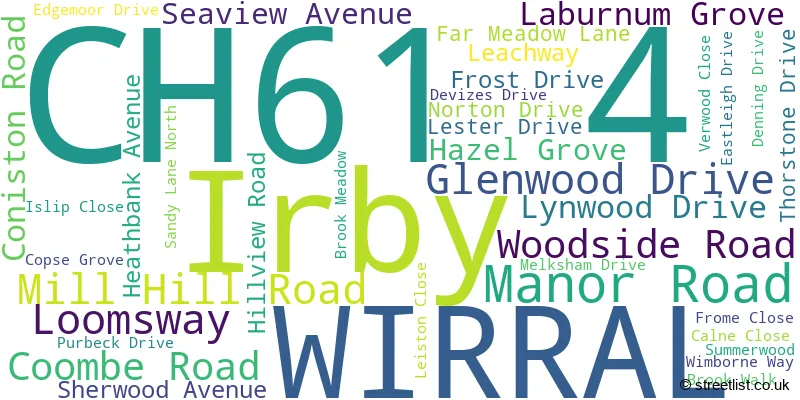
The largest settlements in the CH61 4 postal code are WIRRAL and Irby.
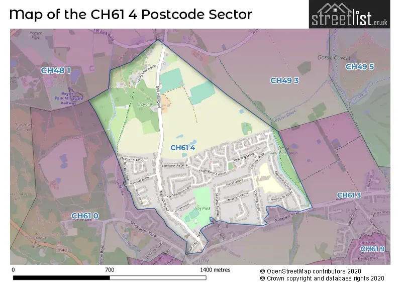
The CH61 4 Postcode shares a border with CH61 3 (WIRRAL, Irby, Thingwall), CH48 1 (WIRRAL, West Kirby, Frankby), CH49 3 (WIRRAL, Greasby) and CH61 0 (Thurstaston, Irby, WIRRAL).
The sector is within the post town of WIRRAL.
CH61 4 is a postcode sector within the CH6 postcode district which is within the CH Chester postcode area.
The Royal Mail delivery office for the CH61 4 postal sector is the unknown.
The area of the CH61 4 postcode sector is 0.51 square miles which is 1.33 square kilometres or 328.88 square acres.

Map of the CH61 4 Postcode Sector
Explore the CH61 4 postcode sector by using our free interactive map.
| C | H | 6 | 1 | - | 4 | X | X |
| C | H | 6 | 1 | Space | 4 | Letter | Letter |
Official List of Streets
WIRRAL (32 Streets)
Unofficial Streets or Alternative Spellings
House Prices in the CH61 4 Postcode Sector
| Type of Property | 2018 Average | 2018 Sales | 2017 Average | 2017 Sales | 2016 Average | 2016 Sales | 2015 Average | 2015 Sales |
|---|---|---|---|---|---|---|---|---|
| Detached | £291,667 | 3 | £287,563 | 16 | £270,598 | 19 | £235,155 | 14 |
| Semi-Detached | £218,516 | 26 | £222,322 | 29 | £210,527 | 32 | £190,602 | 26 |
| Terraced | £138,625 | 4 | £157,333 | 3 | £129,805 | 5 | £145,000 | 1 |
| Flats | £0 | 0 | £0 | 0 | £0 | 0 | £0 | 0 |
Important Postcodes CH61 4 in the Postcode Sector
CH61 4UR is the postcode for Irby Primary School, 40a Coombe Road
| The CH61 4 Sector is within these Local Authorities |
|
|---|---|
| The CH61 4 Sector is within these Counties |
|
| The CH61 4 Sector is within these Water Company Areas |
|