The CH61 8 postcode sector is within the county of Merseyside.
Did you know? According to the 2021 Census, the CH61 8 postcode sector is home to a bustling 2,208 residents!
Given that each sector allows for 400 unique postcode combinations. Letters C, I, K, M, O and V are not allowed in the last two letters of a postcode. With 52 postcodes already in use, this leaves 348 units available.
The largest settlements in the CH61 8 postal code are WIRRAL and Heswall.
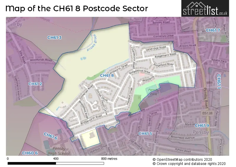
The CH61 8 Postcode shares a border with CH61 2 (WIRRAL, Irby), CH61 3 (WIRRAL, Irby, Thingwall), CH61 5 (WIRRAL, Heswall), CH61 6 (WIRRAL, Heswall) and CH61 9 (WIRRAL, Heswall, Thingwall).
The sector is within the post town of WIRRAL.
CH61 8 is a postcode sector within the CH6 postcode district which is within the CH Chester postcode area.
The Royal Mail delivery office for the CH61 8 postal sector is the unknown.
The area of the CH61 8 postcode sector is 0.27 square miles which is 0.69 square kilometres or 170.25 square acres.

Map of the CH61 8 Postcode Sector
Explore the CH61 8 postcode sector by using our free interactive map.
| C | H | 6 | 1 | - | 8 | X | X |
| C | H | 6 | 1 | Space | 8 | Letter | Letter |
Official List of Streets
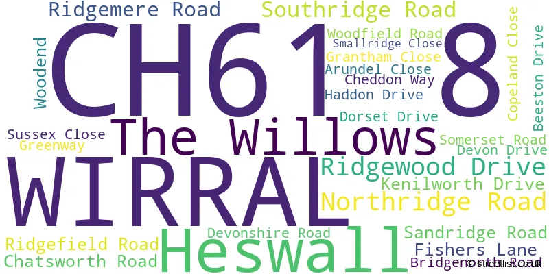
WIRRAL (22 Streets)
Unofficial Streets or Alternative Spellings
House Prices in the CH61 8 Postcode Sector
| Type of Property | 2018 Average | 2018 Sales | 2017 Average | 2017 Sales | 2016 Average | 2016 Sales | 2015 Average | 2015 Sales |
|---|---|---|---|---|---|---|---|---|
| Detached | £180,500 | 4 | £200,000 | 5 | £190,875 | 4 | £179,500 | 4 |
| Semi-Detached | £166,355 | 28 | £165,494 | 34 | £160,601 | 34 | £151,565 | 32 |
| Terraced | £139,150 | 10 | £134,500 | 6 | £137,875 | 12 | £123,600 | 5 |
| Flats | £0 | 0 | £0 | 0 | £133,000 | 1 | £0 | 0 |
Important Postcodes CH61 8 in the Postcode Sector
CH61 8SD is the postcode for Pensby Park Resource Centre, 147 Fishers Lane
| The CH61 8 Sector is within these Local Authorities |
|
|---|---|
| The CH61 8 Sector is within these Counties |
|
| The CH61 8 Sector is within these Water Company Areas |
|