Given that each sector allows for 400 unique postcode combinations. Letters C, I, K, M, O and V are not allowed in the last two letters of a postcode. With 258 postcodes already in use, this leaves 142 units available.
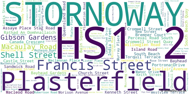
The largest settlements in the HS1 2 postal code are STORNOWAY and Plasterfield.
The HS1 2 Postcode shares a border with HS2 0 (Newmarket, Sandwick, Point).
The sector is within the post town of STORNOWAY.
HS1 2 is a postcode sector within the HS2 postcode district which is within the HS Outer Hebrides postcode area.
The Royal Mail delivery office for the HS1 2 postal sector is the unknown.
The area of the HS1 2 postcode sector is 1.52 square miles which is 3.94 square kilometres or 974.63 square acres.

Map of the HS1 2 Postcode Sector
Explore the HS1 2 postcode sector by using our free interactive map.
| H | S | 1 | - | 2 | X | X |
| H | S | 1 | Space | 2 | Letter | Letter |
Official List of Streets
Plasterfield (3 Streets)
STORNOWAY (126 Streets)
Unofficial Streets or Alternative Spellings
STORNOWAY
DRUIM NA H-ATHADH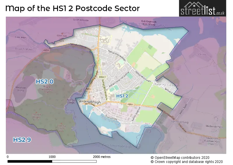
| The HS1 2 Sector is within these Local Authorities | |
|---|---|
| The HS1 2 Sector is within these Counties | |
| The HS1 2 Sector is within these Water Company Areas |