The NN5 5 postcode sector is within the county of Northamptonshire.
Did you know? According to the 2021 Census, the NN5 5 postcode sector is home to a bustling 7,313 residents!
Given that each sector allows for 400 unique postcode combinations. Letters C, I, K, M, O and V are not allowed in the last two letters of a postcode. With 149 postcodes already in use, this leaves 251 units available.
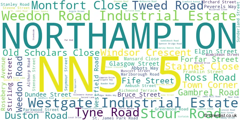
The largest settlement in the NN5 5 postal code is NORTHAMPTON followed by Westgate Industrial Estate, and Weedon Road Industrial Estate.
The NN5 5 Postcode shares a border with NN1 1 (NORTHAMPTON), NN1 2 (NORTHAMPTON, Grafton Street Industrial Estate), NN5 4 (NORTHAMPTON, Upton), NN5 6 (NORTHAMPTON, Duston, New Duston), NN5 7 (NORTHAMPTON, Kings Heath Industrial Estate, Lodge Farm Industrial Estate) and NN4 8 (NORTHAMPTON, Rothersthorpe Avenue Ind Estate).
The sector is within the post town of NORTHAMPTON.
NN5 5 is a postcode sector within the NN5 postcode district which is within the NN Northampton postcode area.
The Royal Mail delivery office for the NN5 5 postal sector is the Northampton West Delivery Office.
The area of the NN5 5 postcode sector is 0.99 square miles which is 2.55 square kilometres or 631.01 square acres.
Waterways within the NN5 5 postcode sector include the River Nene.

Map of the NN5 5 Postcode Sector
Explore the NN5 5 postcode sector by using our free interactive map.
| N | N | 5 | - | 5 | X | X |
| N | N | 5 | Space | 5 | Letter | Letter |
Official List of Streets
NORTHAMPTON (78 Streets)
Westgate Industrial Estate (3 Streets)
Unofficial Streets or Alternative Spellings
NORTHAMPTON
BARING ROAD COTTON MEADOW HARLESTONE ROAD MILLWAY NEWCOMBE ROAD SYMINGTON STREET DUSTON MILL LANE MILLHOUSE COURT RIVERSIDE WALK SAINT JAMES ROAD WALTER TULL WAY WEST BRIDGE WESTGATE ROADKings Heath Industrial Estate
GLADSTONE ROADDuston
SOMERSET DRIVEDallington
THE AVENUEUpper Heyford
WEEDON ROADWeather Forecast for NN5 5
Press Button to Show Forecast for Northampton
| Time Period | Icon | Description | Temperature | Rain Probability | Wind |
|---|---|---|---|---|---|
| 03:00 to 06:00 | Clear night | 2.0°C (feels like 1.0°C) | 1.00% | NE 4 mph | |
| 06:00 to 09:00 | Partly cloudy (day) | 3.0°C (feels like 1.0°C) | 1.00% | NE 4 mph | |
| 09:00 to 12:00 | Sunny day | 7.0°C (feels like 5.0°C) | 1.00% | ENE 7 mph | |
| 12:00 to 15:00 | Cloudy | 10.0°C (feels like 9.0°C) | 10.00% | ENE 4 mph | |
| 15:00 to 18:00 | Overcast | 10.0°C (feels like 9.0°C) | 10.00% | NE 4 mph | |
| 18:00 to 21:00 | Cloudy | 9.0°C (feels like 7.0°C) | 11.00% | ENE 7 mph | |
| 21:00 to 00:00 | Cloudy | 6.0°C (feels like 3.0°C) | 10.00% | ENE 7 mph |
Press Button to Show Forecast for Northampton
| Time Period | Icon | Description | Temperature | Rain Probability | Wind |
|---|---|---|---|---|---|
| 00:00 to 03:00 | Cloudy | 4.0°C (feels like 2.0°C) | 12.00% | ENE 7 mph | |
| 03:00 to 06:00 | Cloudy | 3.0°C (feels like 1.0°C) | 12.00% | ENE 7 mph | |
| 06:00 to 09:00 | Cloudy | 4.0°C (feels like 2.0°C) | 15.00% | ENE 7 mph | |
| 09:00 to 12:00 | Cloudy | 8.0°C (feels like 5.0°C) | 18.00% | ENE 9 mph | |
| 12:00 to 15:00 | Overcast | 10.0°C (feels like 8.0°C) | 23.00% | ENE 9 mph | |
| 15:00 to 18:00 | Cloudy | 11.0°C (feels like 9.0°C) | 16.00% | ENE 11 mph | |
| 18:00 to 21:00 | Cloudy | 10.0°C (feels like 7.0°C) | 21.00% | NE 11 mph | |
| 21:00 to 00:00 | Light rain | 8.0°C (feels like 4.0°C) | 51.00% | NE 11 mph |
Press Button to Show Forecast for Northampton
| Time Period | Icon | Description | Temperature | Rain Probability | Wind |
|---|---|---|---|---|---|
| 00:00 to 03:00 | Light rain | 7.0°C (feels like 4.0°C) | 51.00% | NE 11 mph | |
| 03:00 to 06:00 | Heavy rain | 7.0°C (feels like 4.0°C) | 78.00% | NE 11 mph | |
| 06:00 to 09:00 | Heavy rain | 8.0°C (feels like 6.0°C) | 79.00% | NE 7 mph | |
| 09:00 to 12:00 | Light rain shower (day) | 10.0°C (feels like 8.0°C) | 40.00% | ESE 9 mph | |
| 12:00 to 15:00 | Light rain | 11.0°C (feels like 9.0°C) | 53.00% | SSE 9 mph | |
| 15:00 to 18:00 | Light rain | 11.0°C (feels like 9.0°C) | 53.00% | ENE 11 mph | |
| 18:00 to 21:00 | Light rain shower (day) | 10.0°C (feels like 8.0°C) | 35.00% | NE 9 mph | |
| 21:00 to 00:00 | Cloudy | 8.0°C (feels like 6.0°C) | 10.00% | N 7 mph |
Schools and Places of Education Within the NN5 5 Postcode Sector
Lyncrest Primary School
Community school
Lyncrest Avenue, Northampton, Northamptonshire, NN5 5PE
Head: Mrs Jemma Gillespie
Ofsted Rating: Good
Inspection: 2022-07-07 (659 days ago)
Website: Visit Lyncrest Primary School Website
Phone: 01604751336
Number of Pupils: 223

House Prices in the NN5 5 Postcode Sector
| Type of Property | 2018 Average | 2018 Sales | 2017 Average | 2017 Sales | 2016 Average | 2016 Sales | 2015 Average | 2015 Sales |
|---|---|---|---|---|---|---|---|---|
| Detached | £215,195 | 3 | £247,000 | 1 | £208,800 | 5 | £141,667 | 3 |
| Semi-Detached | £193,710 | 31 | £187,396 | 44 | £172,916 | 36 | £147,841 | 38 |
| Terraced | £176,460 | 67 | £169,069 | 79 | £151,155 | 104 | £139,983 | 83 |
| Flats | £131,750 | 29 | £162,992 | 37 | £119,118 | 17 | £104,461 | 18 |
Important Postcodes NN5 5 in the Postcode Sector
NN5 5BB is the postcode for Westgate House, 21 Gambrel Road
NN5 5BS is the postcode for Sevens, 157 Weedon Road
NN5 5JW is the postcode for WESTBRIDGE DEPOT ADMIN BLOCK, Northampton Borough Council, 9-13 St. James Mill Road
NN5 5JY is the postcode for 45-47 St. James Mill Road
NN5 5LQ is the postcode for St James Library, 138 St James Road, and ST JAMES HEALTH CLINIC, 116 ST JAMES ROAD
NN5 5PE is the postcode for Lyncrest Primary School, Lyncrest Avenue
| The NN5 5 Sector is within these Local Authorities |
|
|---|---|
| The NN5 5 Sector is within these Counties |
|
| The NN5 5 Sector is within these Water Company Areas |
|