The OX14 2 postcode sector is within the county of Oxfordshire.
Did you know? According to the 2021 Census, the OX14 2 postcode sector is home to a bustling 7,838 residents!
Given that each sector allows for 400 unique postcode combinations. Letters C, I, K, M, O and V are not allowed in the last two letters of a postcode. With 189 postcodes already in use, this leaves 211 units available.
The largest settlements in the OX14 2 postal code are ABINGDON and Radley.
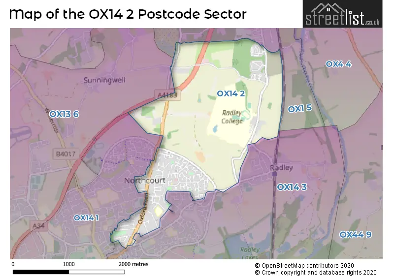
The OX14 2 Postcode shares a border with OX13 6 (Steventon, Marcham, Wootton), OX1 5 (Kennington, Boars Hill, OXFORD), OX14 1 (ABINGDON) and OX14 3 (ABINGDON, Radley, Clifton Hampden).
The sector is within the post town of ABINGDON.
OX14 2 is a postcode sector within the OX1 postcode district which is within the OX Oxford postcode area.
The Royal Mail delivery office for the OX14 2 postal sector is the Oxford Delivery Office.
The area of the OX14 2 postcode sector is 2.26 square miles which is 5.85 square kilometres or 1,445.83 square acres.
The OX14 2 postcode sector is crossed by the A34 Major A road.
Waterways within the OX14 2 postcode sector include the Stert.

Map of the OX14 2 Postcode Sector
Explore the OX14 2 postcode sector by using our free interactive map.
| O | X | 1 | 4 | - | 2 | X | X |
| O | X | 1 | 4 | Space | 2 | Letter | Letter |
Official List of Streets
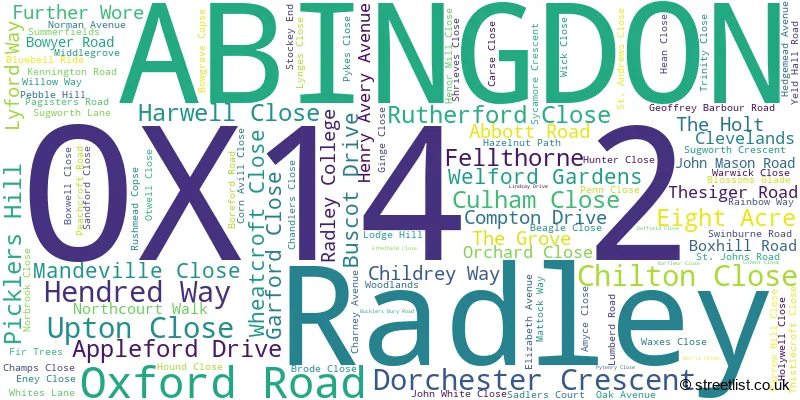
ABINGDON (86 Streets)
Radley (24 Streets)
Schools and Places of Education Within the OX14 2 Postcode Sector
Rush Common School
Academy converter
Hendred Way, Abingdon, Oxfordshire, OX14 2AW
Head: Mr Kristen Fawcett
Ofsted Rating: Good
Inspection: 2021-11-17 (921 days ago)
Website: Visit Rush Common School Website
Phone: 01235533583
Number of Pupils: 378
House Prices in the OX14 2 Postcode Sector
| Type of Property | 2018 Average | 2018 Sales | 2017 Average | 2017 Sales | 2016 Average | 2016 Sales | 2015 Average | 2015 Sales |
|---|---|---|---|---|---|---|---|---|
| Detached | £458,551 | 19 | £586,790 | 24 | £544,188 | 26 | £574,715 | 30 |
| Semi-Detached | £376,755 | 40 | £336,106 | 38 | £353,415 | 35 | £328,397 | 45 |
| Terraced | £306,882 | 17 | £308,871 | 25 | £305,132 | 19 | £301,289 | 36 |
| Flats | £186,260 | 5 | £203,500 | 6 | £194,700 | 4 | £179,150 | 10 |
Important Postcodes OX14 2 in the Postcode Sector
OX14 2AW is the postcode for Rush Common Cp School, Hendred Way
| The OX14 2 Sector is within these Local Authorities |
|
|---|---|
| The OX14 2 Sector is within these Counties |
|
| The OX14 2 Sector is within these Water Company Areas |
|