Given that each sector allows for 400 unique postcode combinations. Letters C, I, K, M, O and V are not allowed in the last two letters of a postcode. With 53 postcodes already in use, this leaves 347 units available.
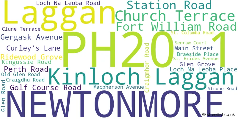
The largest settlement in the PH20 1 postal code is NEWTONMORE followed by Laggan, and Kinloch Laggan.
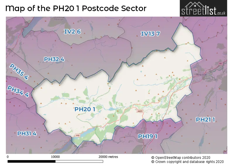
The PH20 1 Postcode shares a border with PH31 4 (ROY BRIDGE, Tulloch, Murlaggan), PH32 4 (FORT AUGUSTUS, Auchterawe), PH21 1 (KINGUSSIE, Kincraig, Insh), PH34 4 (SPEAN BRIDGE, Achnacarry, Gairlochy), PH19 1 (DALWHINNIE), PH35 4 (INVERGARRY) and IV13 7 (Tomatin).
The sector is within the post town of NEWTONMORE.
PH20 1 is a postcode sector within the PH2 postcode district which is within the PH Perth postcode area.
The Royal Mail delivery office for the PH20 1 postal sector is the unknown.
The area of the PH20 1 postcode sector is 170.03 square miles which is 440.37 square kilometres or 108,817.04 square acres.

Map of the PH20 1 Postcode Sector
Explore the PH20 1 postcode sector by using our free interactive map.
| P | H | 2 | 0 | - | 1 | X | X |
| P | H | 2 | 0 | Space | 1 | Letter | Letter |
Official List of Streets
NEWTONMORE (23 Streets)
Unofficial Streets or Alternative Spellings
| The PH20 1 Sector is within these Local Authorities | |
|---|---|
| The PH20 1 Sector is within these Counties | |
| The PH20 1 Sector is within these Water Company Areas |