Given that each sector allows for 400 unique postcode combinations. Letters C, I, K, M, O and V are not allowed in the last two letters of a postcode. With 138 postcodes already in use, this leaves 262 units available.
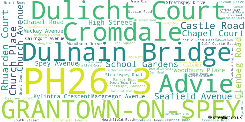
The largest settlement in the PH26 3 postal code is GRANTOWN-ON-SPEY followed by Dulnain Bridge, and Cromdale.
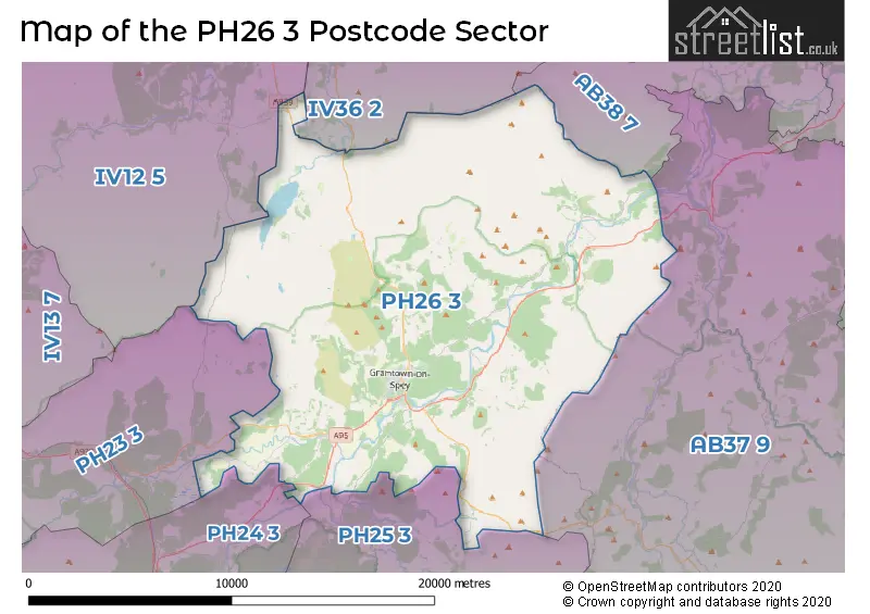
The PH26 3 Postcode shares a border with IV12 5 (NAIRN, Auldearn, Cawdor), IV36 2 (FORRES, Dunphail, Dallas), AB37 9 (Tomintoul, Glenlivet, BALLINDALLOCH), AB38 7 (Rothes, Knockando, Carron), PH23 3 (CARRBRIDGE, Bogroy), PH24 3 (BOAT OF GARTEN) and PH25 3 (NETHY BRIDGE).
The sector is within the post town of GRANTOWN-ON-SPEY.
PH26 3 is a postcode sector within the PH2 postcode district which is within the PH Perth postcode area.
The Royal Mail delivery office for the PH26 3 postal sector is the unknown.
The area of the PH26 3 postcode sector is 129.44 square miles which is 335.25 square kilometres or 82,842.30 square acres.

Map of the PH26 3 Postcode Sector
Explore the PH26 3 postcode sector by using our free interactive map.
| P | H | 2 | 6 | - | 3 | X | X |
| P | H | 2 | 6 | Space | 3 | Letter | Letter |
Official List of Streets
GRANTOWN-ON-SPEY (48 Streets)
Cromdale (8 Streets)
Dulnain Bridge (7 Streets)
Advie (1 Streets)
Unofficial Streets or Alternative Spellings
| The PH26 3 Sector is within these Local Authorities | |
|---|---|
| The PH26 3 Sector is within these Counties | |
| The PH26 3 Sector is within these Water Company Areas |