The PO34 5 postcode sector is within the county of Isle of Wight.
Did you know? According to the 2021 Census, the PO34 5 postcode sector is home to a bustling 1,977 residents!
Given that each sector allows for 400 unique postcode combinations. Letters C, I, K, M, O and V are not allowed in the last two letters of a postcode. With 122 postcodes already in use, this leaves 278 units available.
The PO34 5 postal code covers the settlement of SEAVIEW.
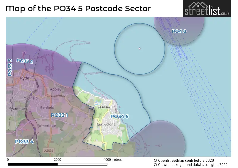
The PO34 5 Postcode shares a border with PO33 1 (RYDE, St. Helens, Oakfield).
The sector is within the post town of SEAVIEW.
PO34 5 is a postcode sector within the PO3 postcode district which is within the PO Portsmouth postcode area.
The Royal Mail delivery office for the PO34 5 postal sector is the Portsmouth Delivery Office.
The area of the PO34 5 postcode sector is 1.10 square miles which is 2.85 square kilometres or 704.90 square acres.

Map of the PO34 5 Postcode Sector
Explore the PO34 5 postcode sector by using our free interactive map.
| P | O | 3 | 4 | - | 5 | X | X |
| P | O | 3 | 4 | Space | 5 | Letter | Letter |
Official List of Streets
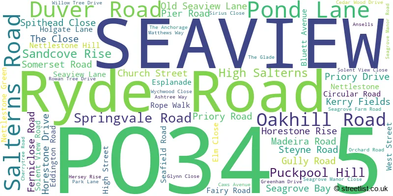
SEAVIEW (62 Streets)
Unofficial Streets or Alternative Spellings
Schools and Places of Education Within the PO34 5 Postcode Sector
Nettlestone Primary School
Community school
Nettlestone Green, Seaview, Isle of Wight, PO34 5DY
Head: Miss Kirsty Howarth
Ofsted Rating: Good
Inspection: 2018-12-18 (1983 days ago)
Website: Visit Nettlestone Primary School Website
Phone: 01983613171
Number of Pupils: 213
House Prices in the PO34 5 Postcode Sector
| Type of Property | 2018 Average | 2018 Sales | 2017 Average | 2017 Sales | 2016 Average | 2016 Sales | 2015 Average | 2015 Sales |
|---|---|---|---|---|---|---|---|---|
| Detached | £454,159 | 41 | £388,139 | 42 | £343,166 | 45 | £331,400 | 48 |
| Semi-Detached | £257,000 | 12 | £325,594 | 16 | £318,350 | 10 | £265,518 | 14 |
| Terraced | £405,000 | 3 | £278,571 | 7 | £284,125 | 8 | £428,571 | 7 |
| Flats | £252,963 | 15 | £183,805 | 10 | £227,200 | 15 | £249,208 | 12 |
Important Postcodes PO34 5 in the Postcode Sector
PO34 5DY is the postcode for Nettlestone Cp School, Nettlestone Green, Nettlestone Primary School, Nettlestone Green, and NETTLESTONE PRIMARY SCHOOL, NETTLESTONE GREEN, NETTLESTONE
| The PO34 5 Sector is within these Local Authorities |
|
|---|---|
| The PO34 5 Sector is within these Counties |
|
| The PO34 5 Sector is within these Water Company Areas |
|