The RM20 4 postcode sector is within the county of Essex.
Did you know? According to the 2021 Census, the RM20 4 postcode sector is home to a bustling 4,374 residents!
Given that each sector allows for 400 unique postcode combinations. Letters C, I, K, M, O and V are not allowed in the last two letters of a postcode. With 57 postcodes already in use, this leaves 343 units available.
The largest settlements in the RM20 4 postal code are WEST THURROCK and SOUTH STIFFORD .
The RM20 4 Postcode shares a border with RM17 6 (GRAYS), RM16 6 (CHAFFORD HUNDRED, GRAYS), RM17 5 (GRAYS, Badgers Dene) and RM20 3 (WEST THURROCK ).
The sector is within the post town of GRAYS.
RM20 4 is a postcode sector within the RM2 postcode district which is within the RM Romford postcode area.
The Royal Mail delivery office for the RM20 4 postal sector is the unknown.
The area of the RM20 4 postcode sector is 0.45 square miles which is 1.16 square kilometres or 286.55 square acres.

Map of the RM20 4 Postcode Sector
Explore the RM20 4 postcode sector by using our free interactive map.
| R | M | 2 | 0 | - | 4 | X | X |
| R | M | 2 | 0 | Space | 4 | Letter | Letter |
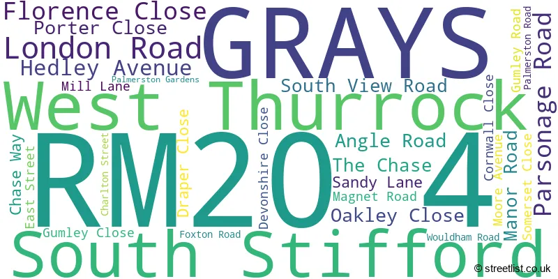
Official List of Streets
GRAYS (23 Streets)
South Stifford (1 Streets)
West Thurrock (3 Streets)
Unofficial Streets or Alternative Spellings
Chafford Hundred
MILL LANEWest Thurrock
WEST THURROCK WAYGRAYS,
LONDON ROAD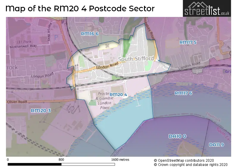
House Prices in the RM20 4 Postcode Sector
| Type of Property | 2018 Average | 2018 Sales | 2017 Average | 2017 Sales | 2016 Average | 2016 Sales | 2015 Average | 2015 Sales |
|---|---|---|---|---|---|---|---|---|
| Detached | £0 | 0 | £0 | 0 | £0 | 0 | £225,998 | 2 |
| Semi-Detached | £281,000 | 3 | £271,583 | 6 | £275,998 | 5 | £251,248 | 4 |
| Terraced | £269,384 | 29 | £235,397 | 34 | £241,659 | 53 | £228,713 | 60 |
| Flats | £171,355 | 31 | £156,850 | 30 | £143,672 | 48 | £145,063 | 73 |
| The RM20 4 Sector is within these Local Authorities |
|
|---|---|
| The RM20 4 Sector is within these Counties |
|
| The RM20 4 Sector is within these Water Company Areas |
|