The S61 4 postcode sector is within the county of South Yorkshire.
Did you know? According to the 2021 Census, the S61 4 postcode sector is home to a bustling 7,748 residents!
Given that each sector allows for 400 unique postcode combinations. Letters C, I, K, M, O and V are not allowed in the last two letters of a postcode. With 203 postcodes already in use, this leaves 197 units available.
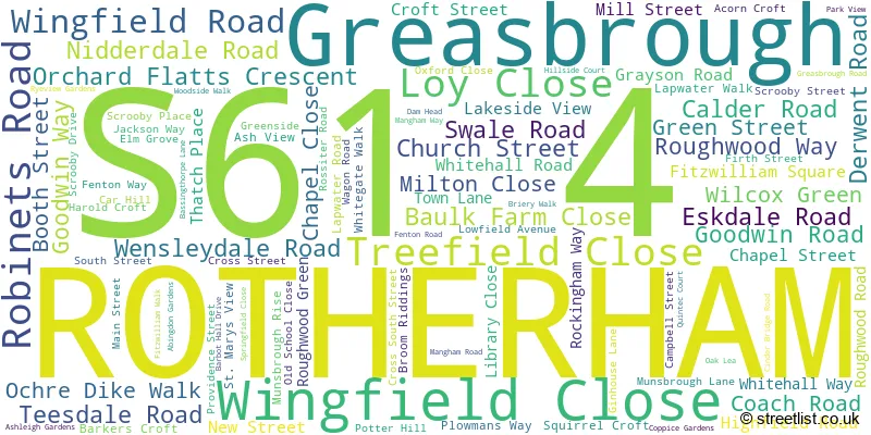
The largest settlements in the S61 4 postal code are ROTHERHAM and Greasbrough.
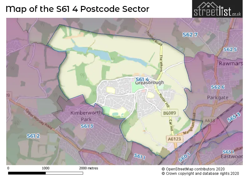
The S61 4 Postcode shares a border with S60 1 (ROTHERHAM, Parkgate), S61 1 (ROTHERHAM, Kimberworth), S61 3 (ROTHERHAM, Kimberworth), S62 6 (Parkgate, Rawmarsh), S62 7 (Rawmarsh, Wentworth, Harley) and S61 2 (ROTHERHAM, Thorpe Hesley, Scholes).
The sector is within the post town of ROTHERHAM.
S61 4 is a postcode sector within the S6 postcode district which is within the S Sheffield postcode area.
The Royal Mail delivery office for the S61 4 postal sector is the Sheffield Npostal Delivery Office.
The area of the S61 4 postcode sector is 3.27 square miles which is 8.47 square kilometres or 2,093.05 square acres.

Map of the S61 4 Postcode Sector
Explore the S61 4 postcode sector by using our free interactive map.
| S | 6 | 1 | - | 4 | X | X |
| S | 6 | 1 | Space | 4 | Letter | Letter |
Official List of Streets
ROTHERHAM (83 Streets)
Greasbrough (14 Streets)
Unofficial Streets or Alternative Spellings
House Prices in the S61 4 Postcode Sector
| Type of Property | 2018 Average | 2018 Sales | 2017 Average | 2017 Sales | 2016 Average | 2016 Sales | 2015 Average | 2015 Sales |
|---|---|---|---|---|---|---|---|---|
| Detached | £225,719 | 16 | £204,304 | 14 | £201,667 | 12 | £159,828 | 9 |
| Semi-Detached | £107,840 | 20 | £106,608 | 24 | £101,319 | 25 | £99,419 | 27 |
| Terraced | £94,396 | 36 | £87,000 | 28 | £85,759 | 29 | £88,293 | 30 |
| Flats | £46,167 | 3 | £59,571 | 7 | £54,333 | 3 | £58,750 | 4 |
Important Postcodes S61 4 in the Postcode Sector
S61 4AU is the postcode for Wingfield Comprehensive School, Wingfield Road
S61 4HY is the postcode for Rockingham Junior & Infant School, Roughwood Road, CHILDRENS CENTRE, Rockingham Junior & Infant School, Roughwood Road, MAIN SCHOOL, Rockingham Junior & Infant School, Roughwood Road, and Rockingham Professional Development Centre, Roughwood Road
S61 4PU is the postcode for Rotherham Metropolitan Borough Council, Greasbrough Branch Library, Coach Road
S61 4RB is the postcode for Greasbrough Junior & Infant School, Munsbrough Rise
| The S61 4 Sector is within these Local Authorities |
|
|---|---|
| The S61 4 Sector is within these Counties |
|
| The S61 4 Sector is within these Water Company Areas |
|