The BS11 8 postcode sector is within the county of Bristol.
Given that each sector allows for 400 unique postcode combinations. Letters C, I, K, M, O and V are not allowed in the last two letters of a postcode. With 25 postcodes already in use, this leaves 375 units available.
The sector is within the post town of BRISTOL.
BS11 8 is a postcode sector within the BS1 postcode district which is within the BS Bristol postcode area.
The Royal Mail delivery office for the BS11 8 postal sector is the unknown.
The area of the BS11 8 postcode sector is 0.64 square miles which is 1.67 square kilometres or 411.83 square acres.
The BS11 8 postcode sector is crossed by the M49 motorway.
The BS11 8 postcode sector is crossed by the M5 motorway.

Map of the BS11 8 Postcode Sector
Explore the BS11 8 postcode sector by using our free interactive map.
| B | S | 1 | 1 | - | 8 | X | X |
| B | S | 1 | 1 | Space | 8 | Letter | Letter |
Official List of Streets
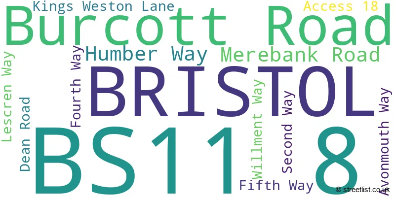
BRISTOL (12 Streets)
Unofficial Streets or Alternative Spellings
BRISTOL
POPLAR WAY WEST SMOKE LANE BALLAST LANE BOUNDARY ROAD ST ANDREWS ROAD ZINC ROADKingsweston
KINGS WESTON LANE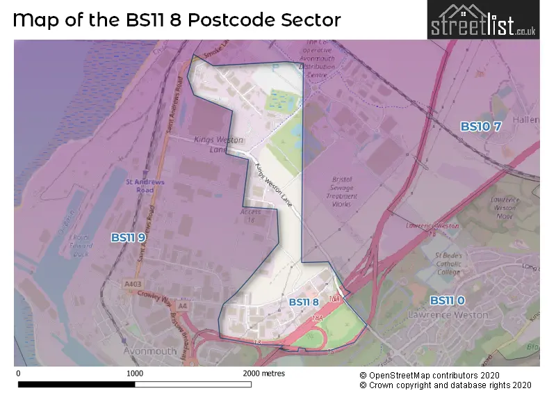
House Prices in the BS11 8 Postcode Sector
| Type of Property | 2018 Average | 2018 Sales | 2017 Average | 2017 Sales | 2016 Average | 2016 Sales | 2015 Average | 2015 Sales |
|---|---|---|---|---|---|---|---|---|
| Detached | £0 | 0 | £0 | 0 | £0 | 0 | £0 | 0 |
| Semi-Detached | £0 | 0 | £0 | 0 | £0 | 0 | £0 | 0 |
| Terraced | £0 | 0 | £0 | 0 | £0 | 0 | £0 | 0 |
| Flats | £0 | 0 | £0 | 0 | £0 | 0 | £0 | 0 |
| The BS11 8 Sector is within these Local Authorities |
|
|---|---|
| The BS11 8 Sector is within these Counties |
|
| The BS11 8 Sector is within these Water Company Areas |
|